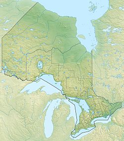
Gumboot Lake (Ontario) facts for kids
Quick facts for kids Gumboot Lake |
|
|---|---|
| Location | Thunder Bay District, Ontario |
| Coordinates | 48°56′07″N 87°22′20″W / 48.93528°N 87.37222°W |
| Primary inflows | Whitesand River |
| Primary outflows | Whitesand River |
| Basin countries | Canada |
| Max. length | .75 km (0.47 mi) |
| Max. width | .29 km (0.18 mi) |
| Surface elevation | 345 m (1,132 ft) |
Gumboot Lake is a beautiful lake located in the Thunder Bay District in Ontario, Canada. It's a natural body of water, like a big pond, that is surrounded by land. This lake is about 750 metres (2,461 ft) long and 290 metres (951 ft) wide.
It sits at an elevation of 345 metres (1,132 ft) above sea level. That's pretty high up! Gumboot Lake is found about 15 kilometres (9.3 mi) northwest of a community called Schreiber.
Contents
What is a Lake?
A lake is a large area of water surrounded by land. Lakes are important parts of our planet's water cycle. They can be home to many different kinds of plants and animals. Some lakes are very deep, while others are quite shallow.
Water Flow at Gumboot Lake
The main river that flows into Gumboot Lake is the Whitesand River. This river also flows out of the lake. This means the Whitesand River brings water into Gumboot Lake and then carries it away.
The Whitesand River's Journey
After leaving Gumboot Lake, the Whitesand River continues its journey downstream. It eventually flows into another lake called Longcanoe Lake. This shows how lakes and rivers are connected, forming a network of waterways.
Location in Ontario
Gumboot Lake is located in the Thunder Bay District of Ontario. Ontario is a large province in Canada. The Thunder Bay District is known for its vast forests, many lakes, and natural beauty. It's a great place for outdoor adventures.
 | William Lucy |
 | Charles Hayes |
 | Cleveland Robinson |


