Hudnut, Indiana facts for kids
Quick facts for kids
Hudnut, Indiana
|
|
|---|---|

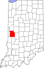
Parke County's location in Indiana
|
|
| Country | United States |
| State | Indiana |
| County | Parke |
| Township | Florida |
| Elevation | 495 ft (151 m) |
| Time zone | UTC-5 (Eastern (EST)) |
| • Summer (DST) | UTC-4 (EDT) |
| ZIP code |
47874
|
| Area code(s) | 765 |
| GNIS feature ID | 436569 |
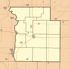
Hudnut, also known as Clinton Locks, is a small community in Indiana, United States. It's not a city or town with its own government. Instead, it's an unincorporated community. This means it's part of a larger area called Florida Township in Parke County. You can find Hudnut just east of the town of Clinton.
A Look Back: Hudnut's History
Hudnut had its own post office for a short time. It opened in 1887. People could send and receive mail there. But it closed just a few years later, in 1893.
The community got its name from a company. This company was called Hudnut and Company. They owned land near the Wabash and Erie Canal. This canal was an important waterway long ago.
Where is Hudnut?
Hudnut is located in Parke County, Indiana. Its exact spot is at coordinates 39 degrees, 39 minutes, 34 seconds North and 87 degrees, 22 minutes, 37 seconds West. This community sits about 495 feet (or 151 meters) above sea level.
 | Mary Eliza Mahoney |
 | Susie King Taylor |
 | Ida Gray |
 | Eliza Ann Grier |


