Icán River facts for kids
Quick facts for kids Icán River |
|
|---|---|
|
Location of mouth
|
|
| Native name | Río Icán (Spanish) |
| Country | Guatemala |
| Physical characteristics | |
| Main source | Guatemala (Suchitepéquez 1,200 m (3,900 ft) 14°39′47″N 91°32′02″W / 14.663063°N 91.533837°W |
| River mouth | Pacific Ocean 0 m (0 ft) 14°07′30″N 91°39′55″W / 14.125006°N 91.665201°W |
| Length | 53 km (33 mi) |
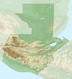
The Icán River is a river found in the southwest part of Guatemala. It starts high up in the Sierra Madre mountains, near the Santo Tomás volcano. This area is in the Suchitepéquez region of Guatemala.
From its starting point, the Icán River flows south. It travels through the flat coastal lands of Suchitepéquez until it reaches the big Pacific Ocean. The river is about 53 km (33 mi) long.
About the Icán River
The Icán River is an important waterway in its region. It begins at an elevation of about 1,200 m (3,900 ft) in the mountains. As it flows towards the ocean, its elevation drops to 0 m (0 ft) at its mouth.
River Flow and Basin
The Icán River flows generally in the same direction as its main helper river, called the Sís River. These two rivers are quite close to each other. Together, the Icán and Sís rivers drain a large area of about 919 square kilometres ([convert: unknown unit]). This area is known as the Sís–Icán river basin. The river's average water flow near a place called Bracitos is about 34 m3/s (1,200 cu ft/s).
See also
 In Spanish: Río Icán para niños


