
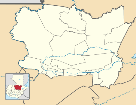
Image: Alta Verapaz department location map

Description: Location map of the Alta Verapaz department, Guatemala. Equirectangular projection, geographic limits of the map: N: 16°06'54.77"N S: 14°56'17.83"N W: 90°55'34.97"W E: 89°22'09.87"W
Title: Alta Verapaz department location map
Credit: Own work based on: Guatemala location map.svg by Spischot. Rivers and lakes from OpenStreetMap by © OpenStreetMap contributors. National, departmental and municipal boundaries from the Infraestructura de Datos Espaciales de Guatemala (IDEG) website, a Guatemalan national geographic information system, whose data is on the public domain according to the Legislative Decree 42-2001 of the Congress of Guatemala.
Author: Derivative work by Edgouno
Usage Terms: Creative Commons Attribution-Share Alike 3.0
License: CC BY-SA 3.0
License Link: https://creativecommons.org/licenses/by-sa/3.0
Attribution Required?: Yes
Image usage
The following 4 pages link to this image:
