
Image: Black Hill (Peak District)

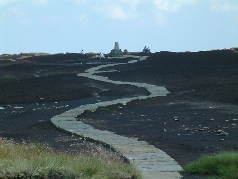
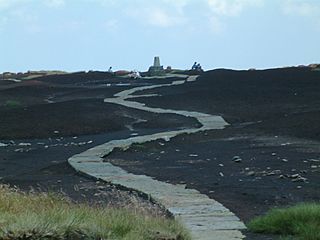
Description: The Pennine Way on the summit of Black Hill (Peak District). The triangulation column and highest point on Black Hill is on a small elevated mound, called Soldiers' Lump. According to Alfred Wainwright's Pennine Way Companion the support timbers for the Ramsden theodolite, used by the Royal Engineers in the original Ordnance Survey, were still to be found here many years later. Photograph by Stephen Dawson 7 August en:2004.
Title: Black Hill (Peak District)
Credit: Transferred from en.wikipedia to Commons.
Author: The original uploader was StephenDawson at English Wikipedia
Permission: This file is licensed under the Creative Commons Attribution-Share Alike 2.0 Generic license. You are free: to share – to copy, distribute and transmit the work to remix – to adapt the work Under the following conditions: attribution – You must attribute the work in the manner specified by the author or licensor (but not in any way that suggests that they endorse you or your use of the work). share alike – If you alter, transform, or build upon this work, you may distribute the resulting work only under the same or similar license to this one. http://creativecommons.org/licenses/by-sa/2.0 CC BY-SA 2.0 Creative Commons Attribution-Share Alike 2.0 truetrue
Usage Terms: Creative Commons Attribution-Share Alike 2.0
License: CC BY-SA 2.0
License Link: http://creativecommons.org/licenses/by-sa/2.0
Attribution Required?: Yes
Image usage
The following 5 pages link to this image:

.jpg)