
Image: Location map United Kingdom Morecambe Bay

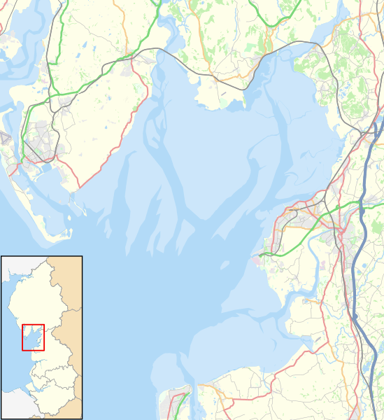
Description: Map of Morecambe Bay, in Lancashire and Cumbria, England, in 2021. Geographic limits: West: 3.27° W East: 2.74° W North: 54.24° N South: 53.90° N Key Motorway Primary route Other A road B road Other road Railway River Woodland Built-up area
Title: Location map United Kingdom Morecambe Bay
Credit: This file was derived from: North West England districts 2011 map.svg: http://www.openstreetmap.org/#map=10/54.0960/-3.0336 accessed 21 January 2021
Author: North West England districts 2011 map.svg: Nilfanion, created using Ordnance Survey data OpenStreetMap: OpenStreetMap contributors derivative work: Dr Greg
Usage Terms: Creative Commons Attribution-Share Alike 4.0
License: CC BY-SA 4.0
License Link: https://creativecommons.org/licenses/by-sa/4.0
Attribution Required?: Yes
Image usage
The following 6 pages link to this image:
