Dova Haw facts for kids
| Geography | |
|---|---|
| Location | Morecambe Bay |
| Coordinates | 54°05′46″N 3°14′08″W / 54.09611°N 3.23556°W |
| Archipelago | British Isles |
| Administration | |
|
United Kingdom
|
|
| County | Cumbria |
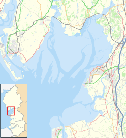
Dova Haw, also known as Crab Island, is a very small island near Cumbria, England. It is one of the many islands found in the Morecambe Bay area. This tiny island is special because it is a tidal island.
What is a Tidal Island?
A tidal island is a piece of land that is connected to the mainland at low tide. This means you can sometimes walk to it across the sand or mud. But when the tide comes in, the water covers the path, and the island becomes surrounded by the sea. It's important to know the tide times if you ever visit one!
Where is Dova Haw?
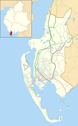
Dova Haw is located off the coast of Cumbria, in the northwest of England. It's very close to some other well-known islands.
- It is about 0.3 miles (0.5 kilometers) from Barrow Island.
- It is also about 0.6 miles (1 kilometer) from Walney Island.
The island sits right next to the town of Barrow-in-Furness.
History of Dova Haw
Dova Haw has an interesting past, even though it's so small.
- Lighthouse Site: Long ago, Dova Haw was home to a lighthouse. This lighthouse was made of stone and used an oil lamp to guide ships. Today, you can still see the old foundations of this lighthouse.
- Crab Fishing: The island is also known as Crab Island. This name comes from the past, when people used to go there to catch crabs. It was a popular spot for crab fishing.
 | John T. Biggers |
 | Thomas Blackshear |
 | Mark Bradford |
 | Beverly Buchanan |


