
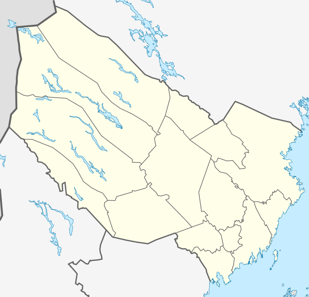
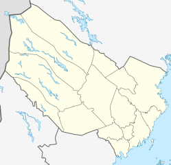
Image: Sweden Västerbotten location map

Size of this PNG preview of this SVG file: 623 × 599 pixels. Other resolution: 249 × 240 pixels.
Original image (SVG file, nominally 1,000 × 962 pixels, file size: 476 KB)
Description: Location map of Västerbotten county in Sweden Equirectangular projection, N/S stretching 235 %. Geographic limits of the map: N: 66.40° N S: 63.30° N W: 14.10° E E: 21.70° E
Title: Sweden Västerbotten location map
Credit: Own work
Author: Erik Frohne
Usage Terms: Creative Commons Attribution-Share Alike 3.0
License: CC BY-SA 3.0
License Link: https://creativecommons.org/licenses/by-sa/3.0
Attribution Required?: Yes
Image usage

All content from Kiddle encyclopedia articles (including the article images and facts) can be freely used under Attribution-ShareAlike license, unless stated otherwise.