Inveravon facts for kids
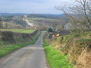
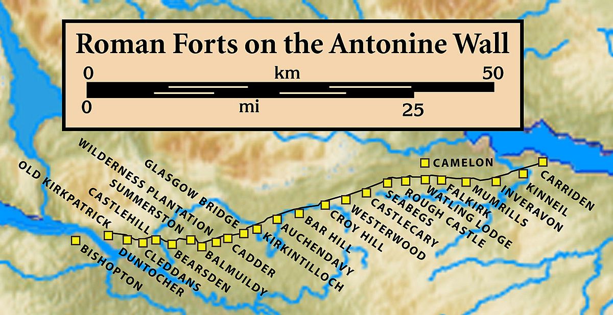
Inveravon is a place in Scotland, located on the east side of the River Avon. For a long time, people thought it was a possible site for a Roman fort. This fort would have been part of the Antonine Wall. The Antonine Wall was a huge barrier built by the Romans across Scotland.
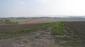
Even though some digging and special ground scans have been done, the evidence for a fort at Inveravon is not very clear. Near a place called Inveravon Tower, some small signs of a fort were found. However, these traces are so faint that a regular visitor would not be able to see them. Digging has uncovered parts of the fort's foundations. They also found a section of the "Military Way," which was a road used by the Roman army. Old stone walls and cobbled paths were also discovered. Some larger structures, possibly used as signal or beacon towers, were also found.
Roman Army Camps at Inveravon
The Roman army often set up temporary camps. Two of these temporary camps were found near Inveravon. They were discovered in the 1950s using aerial photography. This is when planes take pictures from above. These camps are located south of the Antonine Wall and southeast of Inveravon itself.
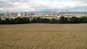
In 1960, another temporary camp was found using aerial photography. This third camp was also south of the Wall. Other similar camps have been found near Mumrills and the Grangemouth Golf Course. These camps were likely used by soldiers on the move.
Life in Roman Forts
Many Roman forts along the Antonine Wall housed about 500 soldiers. Larger forts, like Castlecary and Birrens, could hold around 1000 soldiers. Even though soldiers were not allowed to marry, women and children probably lived there too.
It is also very likely that large groups of civilians lived near these forts. These civilians would have provided goods and services to the soldiers. They created small communities around the military bases.
 | Sharif Bey |
 | Hale Woodruff |
 | Richmond Barthé |
 | Purvis Young |


