Ironto, Virginia facts for kids
Quick facts for kids
Ironto, Virginia
|
|
|---|---|
| Country | United States |
| State | Virginia |
| County | Montgomery |
| Elevation | 1,309 ft (399 m) |
| Time zone | UTC-5 (Eastern (EST)) |
| • Summer (DST) | UTC-4 (EDT) |
| Area code(s) | 540 |
| GNIS feature ID | 1468520 |
Ironto is a small place in Montgomery County, Virginia, United States. It is known as an unincorporated community. This means it's a group of homes and businesses that doesn't have its own local government, like a city or town would.
What is Ironto?
Ironto is a community where people live, but it doesn't have its own mayor or town council. Instead, it's part of the larger Montgomery County. The county government takes care of services like roads, schools, and police for Ironto.
Where is Ironto Located?
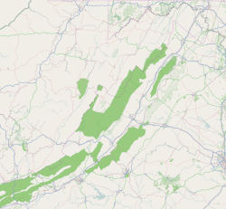
Ironto is found in the state of Virginia, in the eastern part of the United States. It's located about 7.5 miles (12.1 km) east of a larger town called Blacksburg. You can find Ironto along a railroad line, which often means it was once a stop for trains or had industries related to the railway.
Understanding "Unincorporated Communities"
An "unincorporated community" is a place where people live close together, but it's not officially a city or town. It doesn't have its own separate government. Instead, it's governed by the larger county it's in. This is different from a city, which has its own mayor, city council, and local laws. Many small communities in the United States are unincorporated.
 | Ernest Everett Just |
 | Mary Jackson |
 | Emmett Chappelle |
 | Marie Maynard Daly |


