Jarral Shareef facts for kids
Quick facts for kids
Jarral
جرل
|
|
|---|---|
| Jarral | |
 |
|
| Country | |
| Province | |
| District | Abbottabad |
| Tehsil | Abbottabad |
| Population
(2017)
|
|
| • Total | 7,952 |
| Time zone | PKT (UTC+05:00) |
| ZIP code |
22760
|
| Union council code | 40600 |
| Falling Rain Genomics of Jarral Drinking Water quality - District Abbottabad | |
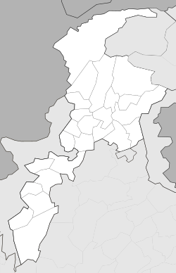
Jarral (Hindko: جرناں) is one of the 57 union councils of Abbottabad District in the Khyber Pakhtunkhwa province of Pakistan.
Contents
Location
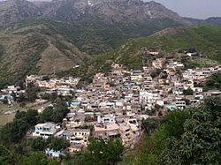
Jarral is 37 km from the city of Abbottabad and is located in a valley surrounded by large mountains on three sides. On the south of the valley lies the Tarbela Dam lake. The southern areas of Jarral UC borders Haripur District.
Jarral is central point of Tanawal area which is linked to two districts of Khyber Pakhtunkhwa i.e. Haripur from the west and Abbottabad to the east. Jarral is a populated village of the area.
Demographics
Jarral has a population of about 7,000.
Subdivisions
- Phajwar
- Gul Bandi
- Jabbi
- Jarral
- Jabree
- Bandi
- Naradoga
- Khuliala
- Kot Nali
- Nakhey
Education
List of schools running in Jarral.
- Fatima Jinnah Public School (Private)
- Ghair Rasmi Bunyadi School (NGO)
- Government High School for Boys, Jarral
- Government High School for Girls, Jarral
- Islami Jamia Madrassa
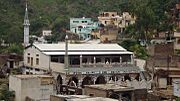
Gallery

All content from Kiddle encyclopedia articles (including the article images and facts) can be freely used under Attribution-ShareAlike license, unless stated otherwise. Cite this article:
Jarral Shareef Facts for Kids. Kiddle Encyclopedia.

