Gabal El Uweinat facts for kids
Quick facts for kids Mount Uwaynat |
|
|---|---|
| جبل العوينات Jabal al-ʿUwaināt or Gabal El ʿUwaināt |
|
Mount Uwaynat on the border of Egypt, Libya and Sudan
|
|
| Highest point | |
| Elevation | 1,934 m (6,345 ft) |
| Dimensions | |
| Length | 30 km (19 mi) |
| Width | 25 km (16 mi) |
| Geography | |
| Country | Egypt, Libya, Sudan |
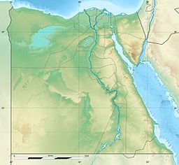
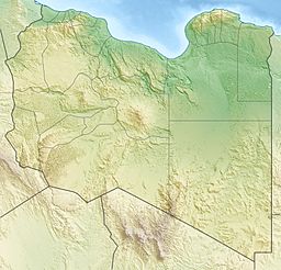
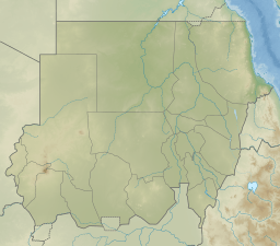
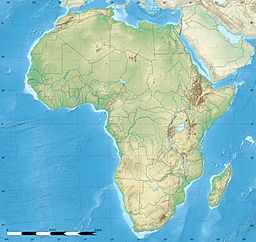
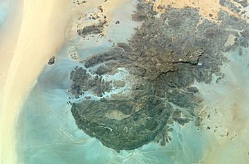
Mount Uwaynat or Gabal El Uweinat is a mountain range. Its name means 'Mountain of the springs' in Arabic. This mountain sits right where the countries of Egypt, Libya, and Sudan meet. It is a very important place because it has thousands of prehistoric rock art sites. These sites help us understand how early people started pastoralism (raising animals) in the Sahara Desert.
Contents
Ancient Rock Art
Mount Uwaynat is famous for its ancient rock carvings. An Egyptian explorer named Ahmed Pasha Hassanein first told the world about them in 1923. He explored part of the mountain and found these amazing artworks.
What the Art Shows
The carvings are made in sandstone. There are thousands of them! They show many different animals like lions, giraffes, ostriches, gazelles, and cows. You can also see small human figures.
Why the Art is Important
These rock art sites are very special. They show how people in Africa started raising animals a long, long time ago. They also show how different groups of people in the Sahara Desert shared ideas and culture.
Mountain Geography
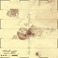
Mount Uwaynat is located about 40 kilometers (25 miles) southeast of Jabal Arkanu. A main spring called Ain Dua is found at the base of the mountain, on the Libyan side.
Western Side of the Mountain
The western part of the mountain is about 618 meters (2,028 feet) high. It has huge rocks that have fallen due to natural wear and tear. This western slope is like an oasis. It has water wells, bushes, and grass, making it a green spot in the desert.
Mountain Structure
The western part of the mountain is made of granite rock. It forms a ring shape about 25 kilometers (15 miles) wide. Three valleys, called wadis (dry riverbeds), stretch out from it: Karkur Hamid, Karkur Idriss, and Karkur Ibrahim.
The eastern part of the mountain is made of sandstone. It ends in a valley called Karkur Talh. In another valley, Karkur Murr, there is a permanent oasis called Ain El Brins. A guelta is a natural waterhole that holds water all year round.
Plateaus and Peaks
In the sandstone area, four flat-topped plateaus rise above the desert. These are the Hassanein plateau, the Italia plateau, and two other unnamed plateaus. The very highest point of Mount Uwaynat is on top of the Italia plateau.
On the highest point, you can find two cairns. A cairn is a pile of stones built as a marker. The first was built by Ralph Alger Bagnold and the second by Captain Marchesi. Both were built in the 1930s.
Explorers of Mount Uwaynat
Many explorers have visited and studied Mount Uwaynat. Here are some of the most well-known:
- Ahmed Pasha Hassanein: He was the first to tell the world about the mountain and put it on a map in 1923.
- Prince Kamal al-Dine Hussein: He was a prince from Egypt who explored the area.
- Ralph Alger Bagnold: He founded the Long Range Desert Group (LRDG), a special military unit, and was a famous desert explorer.
- Pat Clayton: He was also part of the LRDG and worked for the Egyptian Government Survey.
- László Almásy: A Hungarian researcher known for his desert explorations.
- Hubert W. G. J. Penderel
- Leo Frobenius
- Hans Rhotert
- Prinz Ferdinand von Lichtenstein
- Mahmoud Marai: He helped discover the Yam Inscriptions near the mountain in 2007.
Images for kids
See also
 In Spanish: Monte Uweinat para niños


