Kaituma River facts for kids
Quick facts for kids Kaituma River |
|
|---|---|
| Country | Guyana |
| Physical characteristics | |
| River mouth | Barima River 8°11′N 59°41′W / 8.183°N 59.683°W |
| Basin features | |
| Inland ports | Port Kaituma |
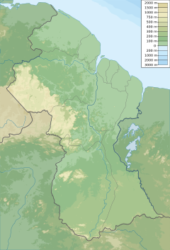
The Kaituma River is an important river located in Guyana, a country in South America. It flows through the Barima-Waini region. The river's end, called its mouth, is where it joins the upper Barima River. The area around the river's mouth has many mangrove swamps, which are special forests that grow in salty water.
The Kaituma River and the Barima River were made deeper by a process called dredging. This means that mud and sand were removed from the riverbed. This was done so that larger ships could travel on the rivers. These ships were used to carry valuable minerals, called ore, from mines near a town called Port Kaituma.
Environmental Concerns
Scientists have found some problems with the water quality in the Kaituma River.
Mercury Pollution
Tests done by the Guyana Water Inc. and the Environmental Protection Agency (EPA) have shown high levels of mercury in the river. Mercury is a dangerous chemical that can harm people and animals. This mercury pollution is believed to come from mining activities happening in the area. Because of this, people living in Port Kaituma and other nearby villages cannot drink the water directly from the river. They have to get their water from other safe sources, like special wells, or have water delivered to them from outside the area.
Traditional Fishing Methods
Some local people have a traditional way of catching fish using a plant called 'canami'. This method involves stunning the fish to make them easier to catch. While it's a traditional practice, it can also affect the quality of the river water.
See also
 In Spanish: Río Caituma para niños
 | Toni Morrison |
 | Barack Obama |
 | Martin Luther King Jr. |
 | Ralph Bunche |


