Kames Bay, Loch Melfort facts for kids
Quick facts for kids Kames Bay |
|
|---|---|

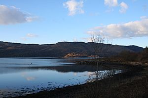
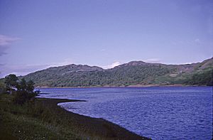
Kames Bay, Loch Melfort. The north east view of Kames Bay and Loch Melfort beyond.
|
|
| Location | Argyll and Bute, Scotland |
| Coordinates | 56°14′55.345″N 5°30′57.701″W / 56.24870694°N 5.51602806°W |
| Ocean/sea sources | Loch Melfort |
| Basin countries | Scotland |
| Max. length | 0.658 km (0.409 mi) |
| Max. width | 0.346 km (0.215 mi) |
Kames Bay is a small, quiet bay located on the southern coast of Loch Melfort in Argyll and Bute, Scotland. It's a "tidal embayment," which means it's a part of the coast that curves inward, and its water level changes with the ocean's tides. The bay faces north by northwest, looking out towards the wider loch.
Contents
Life Around Kames Bay
The main road, called the A816, runs past Kames Bay. This road connects the towns of Oban and Lochgilphead.
Nearby Villages
To the southwest of Kames Bay, you'll find the small village of Arduaine. It's very close to a point of land called Arduaine Point and another bay named Asknish Bay. To the northeast, there's another small settlement called Kilmelford.
Fish Farming
Kames Bay is also home to a fish farm. This is a place where fish are raised in special enclosures in the water. It helps provide seafood for people.
What Kames Bay Looks Like
Kames Bay has some interesting natural features that shape its appearance.
Bay Boundaries
To the east, the bay is bordered by a point of land called Rubh án Àird Fhada. To the west, there's a small sea loch named Loch na Cille. This sea loch is a very calm and safe place for boats, especially yachts, to anchor.
Across the Loch
If you look across Loch Melfort from Kames Bay, you'll see a small rocky island called Eilean Coltair to the northwest. A bit further to the west is a larger bay known as Kilchoan Bay, which also has an island inside it. Directly opposite Kames Bay is a point of land called Bàgh na Dalach Dubh-Chlachaich. If you look further east, at the very end of Loch Melfort, you'll find Fearnach Bay.


