L Streets, Dallas facts for kids
Quick facts for kids
L Streets
|
|
|---|---|
| Country | United States |
| State | Texas |
| Counties | Dallas |
| City | Dallas |
| Area | Lake Highlands |
| ZIP code |
75238
|
| Area code(s) | 214, 469, 972 |
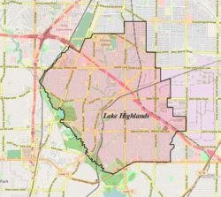
The L Streets is a cool neighborhood located in the Lake Highlands area of Dallas, Texas, in the USA. It's a part of a big city, but it feels like its own special place! This neighborhood is surrounded by important roads like Ferndale Road to the west, Northwest Highway (also known as Loop 12) to the south, Plano Road to the east, and Kingsley/Walnut Hill to the north.
How the L Streets Got Their Name
This neighborhood was built a long time ago, back in 1954. It got its unique name, the "L Streets," because almost every street in the area starts with the letter L! Only two streets, McCree and San Souci, don't follow this rule. It's a bit like another famous Dallas area called the "M Streets", where most streets start with 'M'.
Fun and Recreation
If you live in the L Streets, you're close to a great place to play! McCree Park is right next to the neighborhood, on its eastern side. It's a perfect spot for outdoor fun and activities.


