Lake Carey facts for kids
Quick facts for kids Lake Carey |
|
|---|---|
| Location | Goldfields-Esperance, Western Australia |
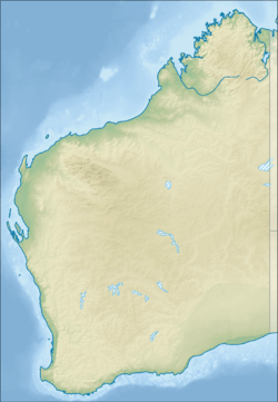
| Coordinates | 29°06′00″S 122°19′38″E / 29.10000°S 122.32722°E |
| Type | Salt lake |
| Primary outflows | Lake Minigwal |
| Catchment area | 6,000 square kilometres (2,300 sq mi) |
| Basin countries | Australia |
Lake Carey is a large salt lake found in the Goldfields-Esperance area of Western Australia. It's a fascinating natural feature with a rich history.
What is Lake Carey?
Lake Carey is part of a series of lakes. These lakes form what is called the Carey Palaeodrainage system. This system was created a very long time ago. It began forming during the Tertiary Period, about 65 million years ago.
The Carey Palaeodrainage system stretches for about 600 kilometres (373 mi). It goes all the way from Wiluna to the Eucla Basin. Lake Carey itself is quite long. It extends from 25 kilometres (16 mi) to 90 kilometres (56 mi) south of Laverton.
How Lake Carey Got Its Name
The lake was named in 1869 by a surveyor named John Forrest. He was exploring the area with Tommy Windich, an Aboriginal guide. John Forrest named the lake after Thomas Campbell Carey. Thomas Carey was a government surveyor. John Forrest had learned his surveying skills from him in 1863.
Mining and the Lake
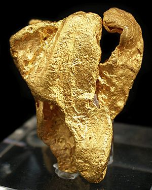
Lake Carey is located in the Laverton Tectonic Zone. This area has been important for gold mining since the 1890s. Mining activities have taken place around the lake for a long time. Sometimes, the way mining is done can affect the lake. For example, water or materials from mining can flow into the lake.
People of the Lake
The Wangkathaa people have a strong connection to the land around Lake Carey. They are the traditional owners of this area. Their history and culture are deeply linked to the lake and its surroundings.
 | George Robert Carruthers |
 | Patricia Bath |
 | Jan Ernst Matzeliger |
 | Alexander Miles |


