Lake Rotokauri facts for kids
Quick facts for kids Lake Rotokauri |
|
|---|---|
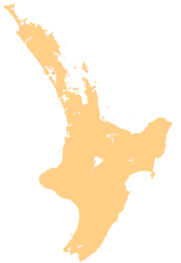
| Location | North Island |
| Coordinates | 37°45′45″S 175°11′45″E / 37.76250°S 175.19583°E |
| Type | peat |
| Primary inflows | Numerous drains including Te Rapa/Rotokauri and Hamilton Zoo drains |
| Primary outflows | Ohote Stream |
| Catchment area | 9 km2 (2,200 acres) |
| Basin countries | New Zealand |
| Max. length | 1.2 km (0.75 mi) |
| Max. width | 0.8 km (0.50 mi) |
| Surface area | 77 hectares (190 acres) (open water) |
| Max. depth | 4 metres (13 ft) |
| Surface elevation | 24 metres (79 ft) |
Lake Rotokauri is a cool lake located about 7 kilometers (that's about 4.3 miles) northwest of Hamilton in New Zealand. It's a special type of lake called a peat lake, which means it formed in an area with lots of decaying plant material. It's also one of the Waipa Peat lakes.
This lake is pretty shallow, with its deepest point being about four meters (or 13 feet). The main open water part of the lake covers an area of around 77 hectares (that's about 190 acres). Water flows out of Lake Rotokauri into the Waipa River through a stream called Ohote Stream.
The land around the lake, known as its catchment area, is used for different things. You'll find homes, businesses, and farms there.
What's in a Name? The Meaning of Rotokauri
The name of the lake, Rotokauri, comes from the Māori people, who are the native people of New Zealand. In Māori, roto means "lake" and kauri refers to the kauri tree. So, the name Rotokauri means "kauri lake".


