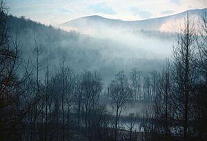
Lamoille River facts for kids

The Lamoille River is a beautiful river located in northern Vermont. It flows across the state and eventually empties into Lake Champlain, a large freshwater lake. This river is about 85 miles (137 kilometers) long. Its drainage area, which is the land where all the water flows into the river, covers about 706 square miles (1,829 square kilometers).
The Lamoille River starts high up in the Green Mountains. It first flows towards the southwest, then turns and flows towards the northwest. The river is so important to the area that it gave its name to Lamoille County, Vermont, a county it flows right through.
How the Lamoille River Got Its Name
Have you ever wondered how places get their names? For the Lamoille River, there's a fun story! Legend says that early French settlers in the area named the river La Mouette. This French phrase means "The Seagull."
However, the story goes that a mapmaker made a small mistake. When writing the name, they forgot to cross the "t" letters in "Mouette." This made the name look like La Moulle. Over time, people started saying it that way. Eventually, the name changed slightly again and became what we know today as Lamoille.
 | Anna J. Cooper |
 | Mary McLeod Bethune |
 | Lillie Mae Bradford |

