Leopolis, Wisconsin facts for kids
This page is about the place in Wisconsin. For other uses, see Leopolis.
Quick facts for kids
Leopolis
|
|
|---|---|
| Country | United States |
| State | Wisconsin |
| County | Shawano |
| Area | |
| • Total | 0.373 sq mi (0.97 km2) |
| • Land | 0.373 sq mi (0.97 km2) |
| • Water | 0 sq mi (0 km2) |
| Population
(2010)
|
|
| • Total | 87 |
| • Density | 233.2/sq mi (90.1/km2) |
| Time zone | UTC-6 (Central (CST)) |
| • Summer (DST) | UTC-5 (CDT) |
| ZIP codes |
54948
|
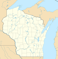
Leopolis is a small community in Shawano County, Wisconsin, United States. It is known as an unincorporated census-designated place. This means it's a recognized community, but it doesn't have its own separate local government like a city or town.
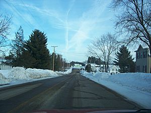
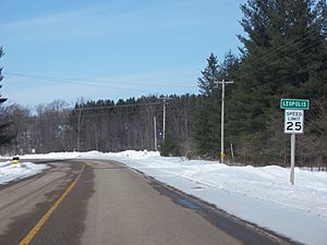
Leopolis is located on County Highway D. You can find it between the towns of Herman and Pella, Wisconsin.
Population of Leopolis
In 2010, a count of all the people living in the United States was done. This count is called a census.
How Many People Live Here?
According to the 2010 census, the population of Leopolis was 87 people. This makes it a very small and quiet place to live.
Images for kids
See also
 In Spanish: Leopolis (Wisconsin) para niños
Black History Month on Kiddle
Famous African-American Inventors:
 | Lonnie Johnson |
 | Granville Woods |
 | Lewis Howard Latimer |
 | James West |

All content from Kiddle encyclopedia articles (including the article images and facts) can be freely used under Attribution-ShareAlike license, unless stated otherwise. Cite this article:
Leopolis, Wisconsin Facts for Kids. Kiddle Encyclopedia.


