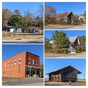
Lone Star, South Carolina facts for kids
Quick facts for kids
Lone Star, South Carolina
|
|
|---|---|
 |
|
| Country | United States |
| State | South Carolina |
| Counties | Calhoun |
| Elevation | 171 ft (52 m) |
| Time zone | EST |
| • Summer (DST) | EDT |
Lone Star is a small community in Calhoun County, South Carolina, South Carolina, United States. It's known as an unincorporated community. This means it doesn't have its own local government like a city or town does. Instead, it's governed by the county.
Lone Star has a ZIP Code of 29030. It's located at about 33.63 degrees north (latitude) and -80.59 degrees west (longitude). The land here is about 171 feet (52 meters) above sea level.
Location and Connections
Lone Star is part of the larger Columbia Metropolitan Statistical Area. This area includes the city of Columbia and many surrounding counties, showing how different places are connected for things like jobs and services.
South Carolina Highway 33 is an important road that passes through or near Lone Star. This highway connects Lone Star with other places, including Orangeburg, South Carolina. Roads like this help people travel and transport goods between communities.
See also
 In Spanish: Lone Star (Carolina del Sur) para niños
 | James B. Knighten |
 | Azellia White |
 | Willa Brown |

