Mamaroneck Harbor (Long Island Sound) facts for kids
Quick facts for kids Mamaroneck Harbor |
|
|---|---|

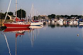
The harbor with boats in it
|
|
| Location | Mamaroneck, New York |
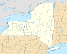
| Coordinates | 40°55′31″N 73°44′21″W / 40.9251444°N 73.7391111°W |
| Islands | none |
Mamaroneck Harbor is a beautiful bay located in the village of Mamaroneck, New York. It is part of the Long Island Sound in Westchester County. This harbor is a popular spot for boats and offers a safe place for them to stay.
About Mamaroneck Harbor
Mamaroneck Harbor is open towards the south, which means it can feel the winds coming from that direction. However, it provides good shelter for boats from strong winds blowing from the north. This makes it a safe haven for many smaller vessels.
Water Depth and Features
The water in the outer part of the harbor is usually about 7 to 12 feet deep when the tide is low. This depth is important for boats to navigate safely. The Mamaroneck River also flows into this harbor. It is a shallow river, like a small stream or a channel where ocean water flows in and out with the tides.
You might notice some rocks in Mamaroneck Harbor. These rocks rise sharply from the water, and some of them can be seen clearly when the tide is low. It's always important for boaters to be aware of these natural features.


