Mexia, Alabama facts for kids
Quick facts for kids
Mexia, Alabama
|
|
|---|---|
| Country | United States |
| State | Alabama |
| County | Monroe |
| Elevation | 413 ft (126 m) |
| Time zone | UTC-6 (Central (CST)) |
| • Summer (DST) | UTC-5 (CDT) |
| ZIP code |
36458
|
| Area code(s) | 251 |
| GNIS feature ID | 122677 |
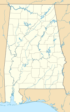
Mexia is a small, unincorporated community located in Monroe County, Alabama, in the United States. It is found about 4 miles (6.4 km) west-southwest of a larger town called Monroeville. Mexia is known for its quiet, rural setting.
Contents
What is an Unincorporated Community?
An unincorporated community is a place that does not have its own local government. This means it is not officially a city or town. Instead, it is usually managed by the county it is in. Mexia is one such community, relying on Monroe County for services.
Life in Mexia
Mexia has its own post office, which helps people send and receive mail. The post office uses the ZIP code 36458. This community is a peaceful place with a few important local spots.
Local Landmarks
Mexia is home to several places that are important to its history and community life.
Historic Cemeteries
You can find two small historic cemeteries in Mexia. One is on Thompson Road and the other is on Rolland Road. These cemeteries are resting places for people who lived in the community long ago.
Community Churches
Churches play a big role in the community of Mexia. The largest church is Mexia Baptist Church, located on Old Salem Road. There are also two other churches: New Chapel Baptist Church on Snowden Road and Old Salem Baptist Church on Old Salem Creek Road. These churches serve as gathering places for residents.
See also
 In Spanish: Mexia (Alabama) para niños
 | William Lucy |
 | Charles Hayes |
 | Cleveland Robinson |


