Milecastle 78 facts for kids
Quick facts for kids Milecastle 78 |
|
|---|---|

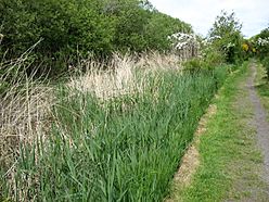
Hadrian's Wall Path near the site of Milecastle 78
|
|
| Type | Milecastle |
| Location | |
| Coordinates | 54°56′28″N 3°10′45″W / 54.941084°N 3.179285°W |
| County | Cumbria |
| Country | England |
Milecastle 78 (Kirkland) was a small fort, like a mini-castle, built along Hadrian's Wall. These milecastles were placed about every Roman mile (which is a bit less than a modern mile) to help guard the wall. They were important parts of the Roman defense system in ancient Britain.
Contents
Where is Milecastle 78?
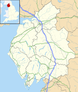
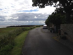
Milecastle 78 is located between the villages of Glasson and Port Carlisle. You can find it northwest of a road that leads to a caravan park. Today, there are no parts of the milecastle visible above the ground.
You can still see traces of the vallum ditch in this area. The vallum was a large ditch and earthwork built by the Romans, running parallel to Hadrian's Wall. Here, it appears as a dip in the ground, up to 0.8 meters deep.
Discovering Milecastle 78
This milecastle was first found and partly dug up in 1934. During this first dig, only the west wall was explored. It was found to be 2.8 meters wide. One layer of stones was still standing on the inside of the wall. The outer stones had been taken away over time. The people who dug it up didn't record if any signs of an earlier wooden milecastle were found.
More Recent Digs
Milecastle 78 was looked at again in 2000 as part of a special project about milecastles. During this time, archaeologists dug trenches across the west, south, and east walls. The stone milecastle was about 19.2 meters from east to west and 20.7 meters from north to south on the outside. The foundations of the walls were 2.5 meters wide.
In the southwest corner, they found a burnt area, which might have been a fireplace or an oven. No signs of an earlier milecastle made of turf (grass and soil) were found during this excavation.
What are Turrets?
Every milecastle along Hadrian's Wall had two smaller watchtowers, called turrets, linked to it. These turrets were placed about one-third and two-thirds of a Roman mile to the west of the milecastle. Soldiers from the milecastle would have likely guarded these turrets. The turrets connected to Milecastle 78 are known as Turret 78A and Turret 78B.
Turret 78A (Kirkland)
Turret 78A (Kirkland) is located about 20 meters northwest of the Kirkland farm buildings. It lies along a hedge on the south side of the road. An old historian named John Horsley first identified this turret in the 1700s. Its location was confirmed in a small digging test in 1948. Just like the milecastle, there are no remains of Turret 78A visible above the ground today.
Turret 78B
Turret 78B has never been found exactly. Old stories say there was a small hill or tumulus (an ancient burial mound) near where it should be. It's also claimed that an upright stone, possibly a medieval cross, once stood there. However, today there are no visible signs of a turret, a mound, or a stone at this spot.
 | Aurelia Browder |
 | Nannie Helen Burroughs |
 | Michelle Alexander |


