Milefortlet 25 facts for kids
Quick facts for kids Milefortlet 25 |
|
|---|---|

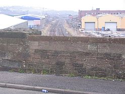
Milefortlet 25 lies under the industrial area of Maryport
|
|
| Type | Milecastle |
| Location | |
| Coordinates | 54°42′17″N 3°30′29″W / 54.704629°N 3.508029°W |
| County | Cumbria |
| Country | England |
Milefortlet 25 was a small Roman fort along the Cumbrian Coast defences in Britain. These defences were part of a larger system that included Hadrian's Wall. The milefortlets were like mini-forts, built to protect the coast. They worked with stone watchtowers and a wooden fence. Today, you can't see Milefortlet 25 because it's under an industrial area in Maryport.
Contents
Milefortlet 25: A Roman Outpost on the Coast
Milefortlet 25 was part of the Roman defence system along the Cumbrian coast. This system stretched from the western end of Hadrian's Wall. It included small forts called milefortlets and stone watchtowers. A wooden fence connected these structures. They were built around the same time as the famous Hadrian's Wall.
Where Was Milefortlet 25 Located?
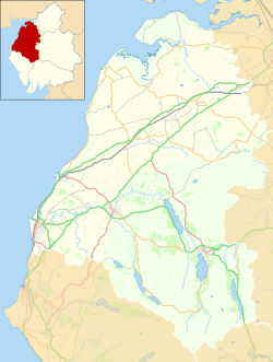
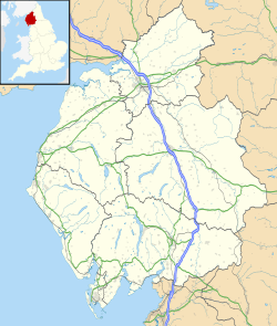
Milefortlet 25 was in the southern part of Maryport, a town in Cumbria, England. It was close to a modern industrial area. Sadly, there are no visible remains of the fortlet today. The land where it once stood is now built upon. This fortlet was about 2 kilometers southwest of a larger Roman fort called Alauna.
The Mystery of the Numbers
At one point, this fortlet was known as Milefortlet 26. This was because some archaeologists thought the numbering system for the forts and towers was mixed up near the Alauna fort.
A famous archaeologist named Richard Bellhouse believed that two of the fort's corner towers were actually Towers 23B and 24A. This idea meant he skipped Milefortlet 24. He then numbered the two fortlets south of Alauna as Milefortlets 25 and 26. However, archaeologists no longer agree with this idea. So, this final fortlet is now correctly known as Milefortlet 25.
Nearby Watchtowers
Each milefortlet had two watchtowers connected to it. These towers were built in a similar way to the turrets found along Hadrian's Wall. They were placed about one-third and two-thirds of a Roman mile to the west of the milefortlet. Soldiers from the nearest milefortlet would likely have guarded these towers. The towers linked to Milefortlet 25 are known as Tower 25A and Tower 25B.
Tower 25A
Tower 25A is located near the edge of a cliff at Rise How Bank. Archaeologists dug here in 1969 and again in 1981-82. These digs were led by Richard Bellhouse. He had thought this spot might be Milefortlet 26. But the excavations showed that the structure was actually a tower.
The tower was 6 meters square. Its stone walls were almost 1 meter thick. Inside the buried remains, archaeologists found something even older: a burial mound from before the Roman times. They also found an early-medieval grain drying kiln. This kiln was built inside the tower after the Romans had left.
Tower 25B
The foundations of Tower 25B were found in 1880. This happened when people were building a coke oven. The building was 4 meters square inside. Its walls were about 1 meter thick. The floor was made of cobblestones covered with clay. Pottery pieces were found on this floor. Today, the site of Tower 25B is covered by a grassy, reclaimed coal tip. This tower is the last known one in the Roman Cumbrian frontier system.
 | Claudette Colvin |
 | Myrlie Evers-Williams |
 | Alberta Odell Jones |


