Military Ridge Road facts for kids
Quick facts for kids |
|
|
Raube Road Site
|
|

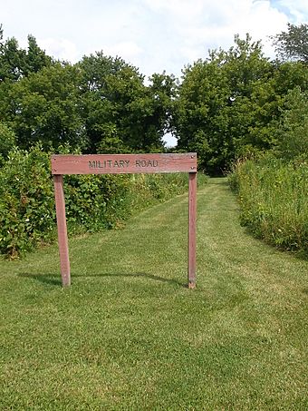
Raube Road, a preserved segment of the first Wisconsin military road, constructed in the 1830s
|
|
| Location | Wisconsin, United States |
|---|---|
| Built | 1835 |
| NRHP reference No. | 92000589 |
| Added to NRHP | June 4, 1992 |
The Old Military Road was an important road built by the U.S. Army in 1835 and 1836. It connected three important forts in what was then the Wisconsin Territory. These forts were Fort Howard in Green Bay, Fort Winnebago in Portage, and Fort Crawford in Prairie du Chien.
This road was one of the first big projects by the government to plan travel routes over land. It helped Wisconsin, first as a territory and later as a state, to build its own system of roads. Today, parts of this historic road are still around. They are listed on the National Register of Historic Places because they are so important to history.
Building the Old Military Road
The idea for the first military road in Wisconsin Territory came from the United States Congress in 1832. Money was approved to build it. Construction started in 1835 and finished in 1837. The main goal was to connect three key forts.
The road began at Fort Howard near Green Bay. It went south along the eastern side of Lake Winnebago. Then, it turned southwest towards Fort Winnebago, which was near what is now Portage. From Fort Winnebago, the road continued southwest to Fort Crawford, located on the Mississippi River near today's Prairie du Chien. These forts were important for defense and moving supplies.
Building the road was not easy. During wet seasons, parts of the road would go underwater. Travelers also had to deal with tall tree stumps that were left in the path. A history book from 1973 described the road as "little more than a lane." It was a simple path through forests and prairies. Workers had to build bridges over streams and dig ditches in swamps. Even though it was often rough and hard to use, the road achieved its main purpose. It allowed people to travel across Wisconsin from east to west.
The entire road was about 234 miles (377 km) long. The first cost to build and maintain it was $12,000. This was a lot of money at the time. Settlers who moved to the area helped keep the road in working condition.
What's Left of the Road Today?

You can still see reminders of the Old Military Road today. Modern roads like Wisconsin Highway 55 and U.S. Highway 151 follow parts of its original path. These roads go from Green Bay to Fond du Lac. Other parts of the old route are followed by Wisconsin State Highways 68 and 33 to Portage. From Portage, U.S. Highway 18 continues west along the historic route.
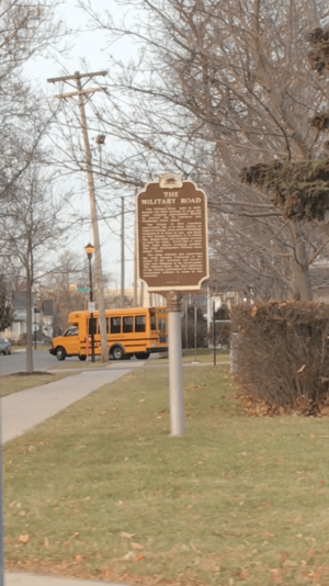
Some local streets still use the name "Military Road." This helps people remember its history. The Military Ridge State Trail also runs over a section of the old road.
A special part of the original road is preserved in Fond du Lac County. This 123-foot (37 m) segment looks much like it did when it was first built. It is on land that Albert and Martha Raube bought in 1911. This preserved section, known as Raube Road, was added to the National Register of Historic Places in 1992. Other places named after the road include Military Avenue in Green Bay and Military Road in Fond du Lac. Even Wisconsin Highway 55, east of Lake Winnebago, is sometimes called Military Road.
 | Delilah Pierce |
 | Gordon Parks |
 | Augusta Savage |
 | Charles Ethan Porter |

