Mount Dandenong (Victoria) facts for kids
Quick facts for kids Mount Dandenong(Corhanwarrabul) |
|
|---|---|
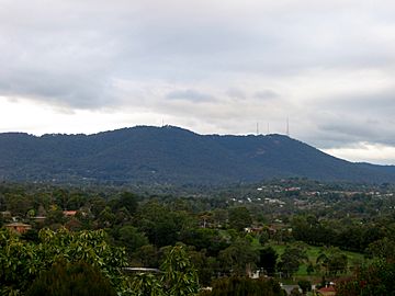
Mount Dandenong, as viewed from Mooroolbark
|
|
| Highest point | |
| Elevation | 633 metres (2,077 ft) AHD |
| Geography | |
| Location | Mount Dandenong, Victoria, Australia |
| Parent range | Dandenong Ranges, Great Dividing Range |
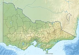
Mount Dandenong is a mountain in Victoria, Australia. Its Aboriginal name is Corhanwarrabul. It's part of the Dandenong Ranges, which are a section of the huge Great Dividing Range.
This mountain stands about 633 meters (2,077 feet) tall. It is located roughly 45 kilometers (28 miles) east of Melbourne, a big city in Australia.
Contents
How Mount Dandenong Formed
Mount Dandenong was created by a massive volcanic eruption. This powerful event happened over 300 million years ago! The explosion was so big that it spread the ranges between Coldstream, Emerald, and south of Ferntree Gully.
What to See and Do
Mount Dandenong is a popular spot with lots to explore. You can find parks, forests, and an arboretum (a place with many different trees). There are also several lookout points with amazing views and many restaurants.
Amazing Views from the Summit
Near the very top of the mountain is the SkyHigh Mount Dandenong restaurant. This place also has beautiful gardens and a fun maze. It reopened in 2005 after being rebuilt.
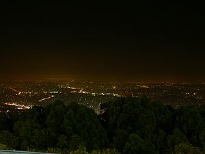
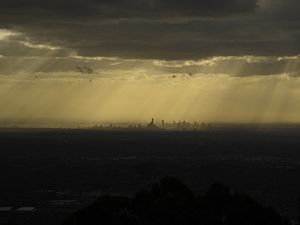
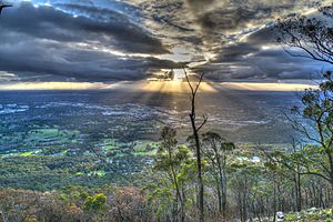
On a clear day, you can see far across the city of Melbourne. You might even spot the You Yangs and Mount Macedon mountains. This helps you understand how big the Melbourne Central Business District and Port Phillip Bay really are.
The Mountain's Peak
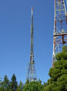
The highest point of Mount Dandenong is 633 meters (2,077 feet) above sea level. This peak is also home to many tall towers. These towers send out TV and FM radio signals for the greater Melbourne area.
The towers range in height from 72 meters (236 feet) to 180 meters (590 feet). You can see them from a long distance away. They help make Mount Dandenong stand out from other mountains in the Dandenong Ranges.
Exploring the Tourist Road
The Mount Dandenong Tourist Road is the main road that goes through the area. Along this road, you'll find many local shops. These include cozy cafes, restaurants, and pubs.
You can also find day spas, shops selling wine and special foods, and a plant nursery. Many places sell unique local crafts, perfect for souvenirs!
William Ricketts Sanctuary
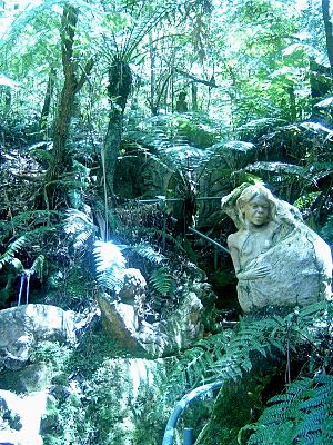
The William Ricketts Sanctuary is located on the eastern side of Mount Dandenong. It's a special place filled with art. There are over 93 ceramic sculptures hidden among the eucalyptus trees. These sculptures are made to blend in with the forest.
 | Janet Taylor Pickett |
 | Synthia Saint James |
 | Howardena Pindell |
 | Faith Ringgold |


