Mount Hay (New South Wales) facts for kids
Quick facts for kids Mount Hay |
|
|---|---|

Mount Hay
|
|
| Highest point | |
| Elevation | 944 m (3,097 ft) |
| Geography | |
| Parent range | Mt Hay Range, Blue Mountains Range |
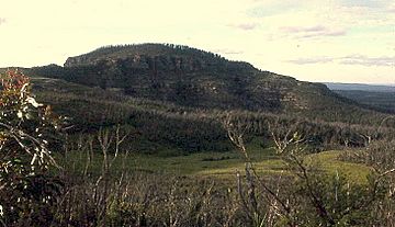
Mount Hay is a cool mountain located in the Blue Mountains National Park in New South Wales, Australia. It's part of the bigger Blue Mountains Range. This area is famous and is even a UNESCO World Heritage area!
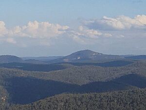
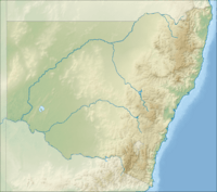
Mount Hay is about 100 kilometres (62 miles) west of Sydney. It's also about 10 kilometres (6 miles) north of a town called Wentworth Falls. The mountain stands about 944 metres (3,097 feet) above sea level. It's one of several mountains in the area with a special rock cap called basalt.

Exploring Mount Hay
Mount Hay has a rounded, dome-like top. You can find it on the southern edge of the Grose Valley. This valley is one of the main parts of the Blue Mountains.
To get to Mount Hay, you first drive along Mount Hay Road. This road starts from the Great Western Highway in Leura. The road is unsealed, meaning it's a dirt road, and can be a bit bumpy. It goes for about 14 kilometres (9 miles) until you reach the Mount Hay picnic area.
The picnic area is quite simple. It has a water tank, but the water isn't always reliable. There's also a stone fireplace and just enough space for one tent if you want to camp.
From the picnic area, a walking track leads to the mountain. It's just over a kilometre (about 0.6 miles) long. As you walk towards the mountain, you'll get amazing views of the Grose Valley. However, these views disappear as you climb higher up the mountain.
At the very top of Mount Hay, there's a special marker called a trigonometric station. This marker helps people measure distances and angles. Unfortunately, you won't find any views from the very top because of all the trees. The summit is 944 metres (3,097 feet) above sea level.
Activities and Adventures
The Mount Hay area is a great spot for bushwalking. It's not as crowded as some other parts of the Grose Valley. This is because it's a bit further away from towns and cities.
About 4 kilometres (2.5 miles) south of the picnic area, you can find other cool walks. One is the Lockley Track, which goes down to the famous Blue Gum Forest in the Grose Valley. There's also a short walk to the top of a flat area called Flat Top.
Just north of the picnic area, another track leads west to Butterbox Point. This spot offers incredible, dramatic views of the valley below. The area is also very popular for photography because of these wide, beautiful valley views.
While there aren't official campsites, you are allowed to camp. Just make sure you set up your tent a good distance away from any roads.


