Mount Swadener facts for kids
Quick facts for kids Mount Swadener |
|
|---|---|
| Highest point | |
| Elevation | 3,150 m (10,330 ft) |
| Geography | |
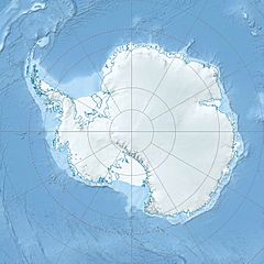
| Location | Edward VII Peninsula, Marie Byrd Land, West Antarctica |
| Parent range | Alexandra Mountains |
Mount Swadener is a mountain peak located in West Antarctica. It is found in a region called Edward VII Land. This mountain is part of the Sneddon Nunataks. These are a group of rocky peaks that stick out of the ice near the coast. They are on the north side of the Alexandra Mountains in the Edward VII Peninsula. Close by, you can find the Swinburne Ice Shelf and Sulzberger Bay.
How Mount Swadener Was Found and Named
Mount Swadener was mapped by a group called the United States Geological Survey (USGS). They used information from ground surveys. They also used pictures taken from airplanes by the United States Navy. These surveys and photos were done between 1959 and 1966.
The mountain was named by the Advisory Committee on Antarctic Names (US-ACAN). They named it after Lieutenant John R. Swadener from the U.S. Navy. Lieutenant Swadener was the navigator on a special plane. This plane was a Douglas C-47 Skytrain, which had skis for landing on snow. On October 31, 1956, this plane made the very first aircraft landing at the geographic South Pole. Rear Admiral George J. Dufek was also on that historic flight.


