Mustang Mountains facts for kids
Quick facts for kids Mustang Mountains |
|
|---|---|

Mustang Mountains
|
|
| Highest point | |
| Peak | Unnamed peak |
| Elevation | 6,469 ft (1,972 m) |
| Dimensions | |
| Length | 14 mi (23 km) East to West |
| Width | 12 mi (19 km) North to South Extent includes low land hills and valleys |
| Area | 77 sq mi (200 km2) |
| Geography | |
| Country | United States |
| State | Arizona |
| District | Cochise County and Santa Cruz County |
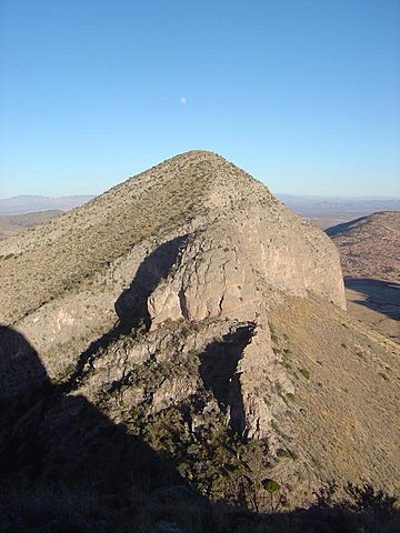
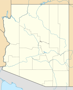
The Mustang Mountains are a cool mountain range you can find in the southeastern part of Arizona, a state in the United States. These mountains are located near Fort Huachuca and are also close to the southern end of the Whetstone Mountains. They are a natural landmark in this desert region.
Exploring the Mustang Mountains
The Mustang Mountains stretch across parts of Cochise County and Santa Cruz County. They cover an area of about 77 square miles. The range is roughly 14 miles long from east to west and 12 miles wide from north to south.
Where Are They Located?
You can spot the Mustang Mountains in the southeast region of Arizona. They are specifically on the northwest side of Fort Huachuca, which is an important place in the area. They also sit at the southern end of the Whetstone Mountains, making them part of a larger system of hills and peaks.
What's the Highest Point?
The tallest spot in the Mustang Mountains is an unnamed peak. This peak reaches an impressive height of 6,469 feet above sea level. Imagine standing on top and looking out over the vast Arizona landscape!
 | Kyle Baker |
 | Joseph Yoakum |
 | Laura Wheeler Waring |
 | Henry Ossawa Tanner |


