Naâma Province facts for kids
Quick facts for kids
Naâma Province
ولاية النعامة
|
|
|---|---|

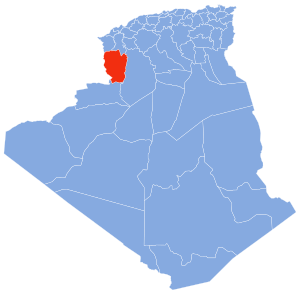
Map of Algeria highlighting Naâma
|
|
| Country | |
| Capital | Naâma |
| Area | |
| • Total | 29,950 km2 (11,560 sq mi) |
| Population | |
| • Total | 209,470 |
| • Density | 6.9940/km2 (18.114/sq mi) |
| Time zone | UTC+01 (CET) |
| Area Code | +213 (0) 49 |
| ISO 3166 code | DZ-45 |
| Districts | 7 |
| Municipalities | 12 |
Naâma Province (pronounced Nah-ah-mah) is a special region, like a state, in the country of Algeria. It is also called a wilaya. The main city and capital of this region is also named Naâma.
This area is known for its large sabkha, which is a flat, salty area. It's like a dry lakebed that sometimes fills with water. You can also find an airport in the town of Mécheria within the province.
Contents
History of Naâma Province
Naâma Province was created in 1984. Before that, it was part of another province called Saïda Province. This change helped organize the country better.
How Naâma Province is Organized
Naâma Province is divided into smaller parts to help manage it. These parts are called districts and communes.
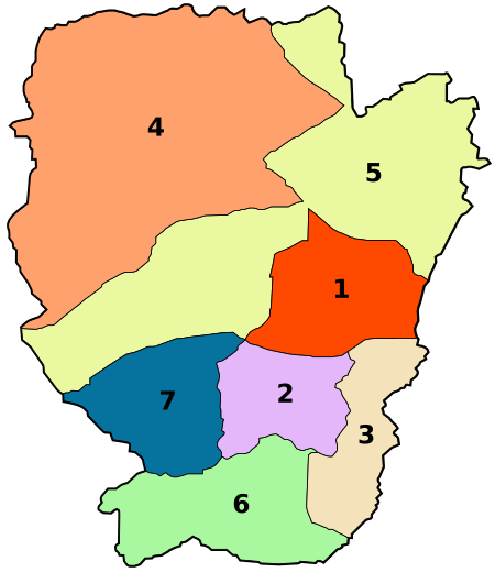
Districts of Naâma Province
The province has 7 main districts. Think of them as larger local areas. Each district helps manage the towns and villages within it.
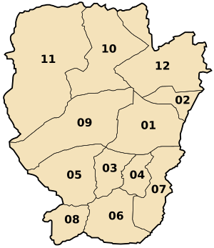
Communes of Naâma Province
Inside these districts, there are 12 smaller areas called communes. These are like local towns or municipalities. They are the smallest administrative units.
- Naâma
- Mécheria
- Aïn Séfra
- Tiout
- Sfissifa
- Moghrar
- Asla
- Djéniane Bourzeg
- Aïn Ben Khelil
- Mekmen Ben Amar
- Kasdir
- El Biod
See also
 In Spanish: Provincia de Naama para niños
 | Lonnie Johnson |
 | Granville Woods |
 | Lewis Howard Latimer |
 | James West |


