
National Register of Historic Places listings in Center Township, Marion County, Indiana facts for kids

This page lists special places in Center Township, Marion County, Indiana, that are recognized for their history. These places are part of the National Register of Historic Places. It's like a national list of important buildings, sites, and objects that are worth protecting.
Center Township is in Indianapolis, Indiana. It has many historic spots. In fact, 180 of the 248 places in Marion County that are on the National Register are right here in Center Township! Some of these are even more special and are called National Historic Landmarks. These landmarks are super important to the history of the whole country.
Contents
What is the National Register of Historic Places?
The National Register of Historic Places is the official list of places in the United States that are important for their history, architecture, archaeology, engineering, or culture. When a place is added to this list, it means it's recognized as a special part of our past. It also helps protect these places.
Why are places listed?
Places get listed for many reasons. Maybe a famous person lived there. Perhaps an important event happened there. Or maybe the building itself is a great example of a certain style of architecture. Listing these places helps people learn about history. It also encourages communities to save and care for them.
What does "Historic District" mean?
Sometimes, a whole area or neighborhood is listed, not just one building. This is called a "Historic District." These districts have many buildings that together tell a story about a certain time or way of life. It's like a collection of historic treasures all in one spot.
Some Historic Places in Center Township
Center Township is home to many amazing historic sites. Here are a few examples of places on the National Register.
Famous Homes and Buildings
- The Athenaeum (Das Deutsche Haus): This beautiful building is a National Historic Landmark. It was built by German-Americans in the late 1800s. It was a place for social gatherings, sports, and education.
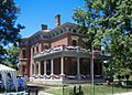
- Benjamin Harrison House: This was the home of Benjamin Harrison, who was the 23rd President of the United States. It's now a museum where you can learn about his life. It's also a National Historic Landmark.
- James Whitcomb Riley House: This house belonged to James Whitcomb Riley, a famous Hoosier poet. He wrote many popular poems, including "Little Orphant Annie." His home is now a museum and a National Historic Landmark.
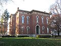
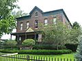
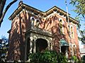
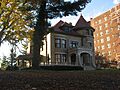
- Morris-Butler House: This grand house shows off the fancy architecture of the 1860s. It's a great example of how wealthy families lived back then.
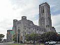
- Scottish Rite Cathedral: This impressive building is known for its stunning architecture and beautiful details. It's a meeting place for a group called the Scottish Rite Masons.
Important Public Places
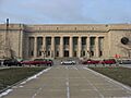
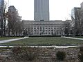
- Indiana State Capitol: This is where Indiana's government makes laws. It's a very important building for the state.
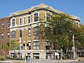
- Indianapolis City Market: For over 100 years, this market has been a busy place where people buy food and other goods. It's a historic spot where community life happens.
- Indianapolis Union Railroad Station: This old train station was once a very busy hub for travelers. It's a reminder of the golden age of train travel.
- Soldiers and Sailors Monument: This tall monument stands in the center of Indianapolis. It honors the brave soldiers and sailors from Indiana who fought in wars.
Places of Learning and Community
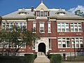
- Crispus Attucks High School: This school was built for African American students during a time of segregation. It has a rich history of academic and athletic achievements.
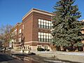
- Central Library (Indianapolis-Marion County Public Library): This beautiful library is a place for learning and reading for everyone in the community.
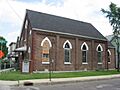
- Bethel A.M.E. Church: This church has been an important center for the African American community in Indianapolis for many years.
Historic Districts (Whole Neighborhoods)
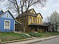
- Lockerbie Square Historic District: This charming neighborhood is one of Indianapolis's oldest. It has many well-preserved homes from the 1800s.
- Old Northside Historic District: This area features many large, historic homes that show the architectural styles of the late 19th century.
- Woodruff Place: This unique neighborhood was one of the first planned communities in the United States. It has beautiful fountains and statues.
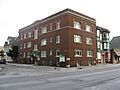
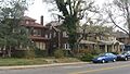
Images for kids
-
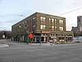
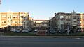
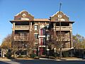
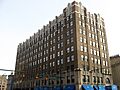
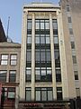
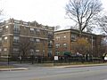
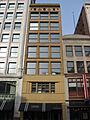
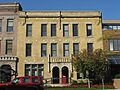
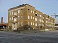
The Alameda
-
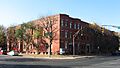
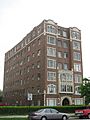
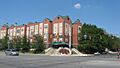
The Alexandra
-
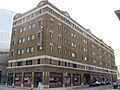
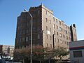
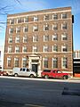
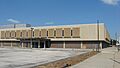
The Ambassador
-
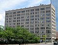
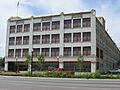
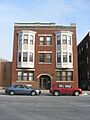
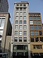
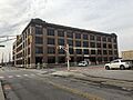
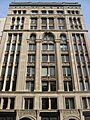
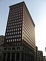
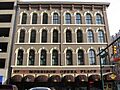
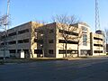
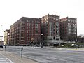
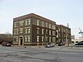
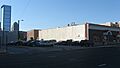
Architects and Builders Building
-
The Athenaeum
-
Crispus Attucks High School
-

L.S. Ayres Annex Warehouse
-
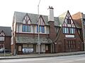
The Baker
-
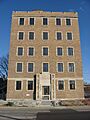
Balmoral Court
-
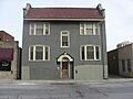
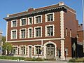
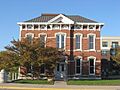
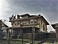
Bals-Wocher House
-

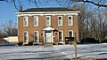
Bates-Hendricks House
-
Beth-El Zedeck Temple
-
Bethel A.M.E. Church
-
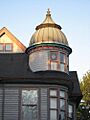
The Blacherne
-

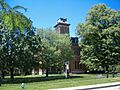
Broad Ripple Park Carousel
-
The Buckingham
-
The Burton
-
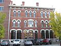
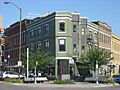
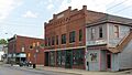
William Buschmann Block
-
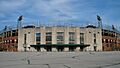
Bush Stadium
-
Byram-Middleton House
-
The Cathcart
-
Central Court Historic District
-
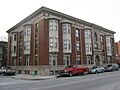
Central Library
-
Chatham-Arch Historic District
-
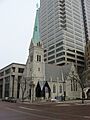
Christ Church Cathedral
-

Christian Park School No. 82
-
Circle Theater
-
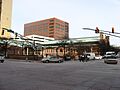
City Market
-
Cole Motor Car Company
-
The Colonial
-
Columbia Club
-
Cottage Home Historic District
-
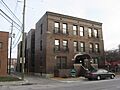
Coulter Flats
-
Crown Hill Cemetery
-

Crown Hill National Cemetery
-
The Dartmouth
-
Delaware Court
-
Delaware Flats
-
The Devonshire
-
The Emelie
-
Emerson Heights Historic District
-
Esplanade Apartments
-
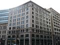
Fidelity Trust Building
-
Flanner House Homes
-
Fletcher Place Historic District
-
Calvin I. Fletcher House
-
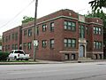
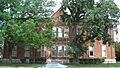
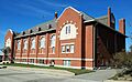
Benjamin Franklin Public School Number 36
-

Gaseteria, Inc.
-

General German Protestant Orphans Home
-

Gibson Company Building
-
The Glencoe
-
Alfred M. Glossbrenner Mansion
-

Golden Hill Historic District
-

The Gramse
-
The Grover
-
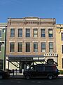
Hammond Block
-
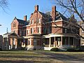
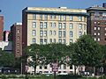
Benjamin Harrison House
-

HCS Motor Car Company
-

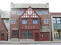
Heier's Hotel
-
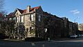
Herron-Morton Place Historic District
-
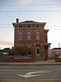
John Fitch Hill House
-
Holy Rosary-Danish Church Historic District
-
Horner-Terrill House
-
Hotel Washington
-
Willard and Josephine Hubbard House
-
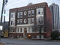
Independent Turnverein
-

Indiana Avenue Historic District
-
Indiana Oxygen Company
-

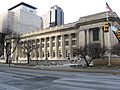
Indiana State Capitol
-

Indiana State Federation of Colored Women's Clubs
-
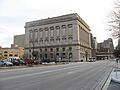
Indiana State Library and Historical Building
-
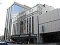
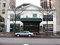
Indiana Theatre
-

Indiana World War Memorial Historic District
-
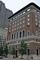
Indianapolis Athletic Club
-
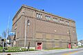
Indianapolis Fire Headquarters and Municipal Garage
-
Indianapolis Masonic Temple
-
Indianapolis News Building
-

Indianapolis Park and Boulevard System
-
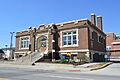
Indianapolis Public Library Branch No. 3
-
Indianapolis Public Library Branch No. 6
-
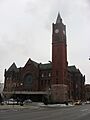
Indianapolis Union Railroad Station
-
Indianapolis Union Station-Wholesale District
-
Indianapolis White Castle Number 3
-
Kahn Tailoring Company
-
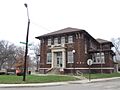
Charles Kuhn House
-
Laurel and Prospect District
-
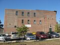
H. Lauter Company Complex
-
Louis Levey Mansion
-
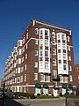
Linwood Colonial Apartments
-
Lockefield Garden Apartments
-
Lockerbie Square Historic District
-
The Lodge
-
Lombard Building
-
Majestic Building
-
Manchester Apartments
-
Horace Mann Public School No. 13
-
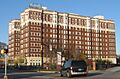
Marott Hotel
-
Marott's Shoes Building
-
The Martens
-
The Massachusetts
-
Massachusetts Avenue Commercial District
-
The Mayleeno
-
McCormick Cabin Site
-
The McKay
-
George Philip Meier House
-
Merchants National Bank and Annex
-

Meridian Park Historic District
-

Military Park
-
Lovel D. Millikan House
-
Thomas Moore House
-
Morris-Butler House
-
Morrison Block
-
Mt. Pisgah Lutheran Church
-
The Myrtle Fern
-

Nurses' Sunken Garden and Convalescent Park
-

Old Indianapolis City Hall
-
Old Northside Historic District
-
Oriental Lodge No. 500
-
The Oxford
-
Pearson Terrace
-
The Pennsylvania
-
Pierson-Griffiths House
-
The Plaza
-
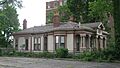
The Propylaeum
-
Prosser House
-
Ralph Waldo Emerson Indianapolis Public School No. 58
-
Ransom Place Historic District
-
Reserve Loan Life Insurance Company
-
James Whitcomb Riley House
-
The Rink
-
Rink's Womens Apparel Store
-
Rivoli Theater
-
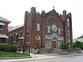
Roberts Park Methodist Episcopal Church
-
Saint James Court
-
St. John's Church and Rectory
-
St. Joseph Neighborhood Historic District
-
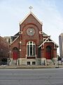
St. Mary's Catholic Church
-
St. Philip Neri Parish Historic District
-
The Savoy
-
Schnull-Rauch House
-
Scottish Rite Cathedral
-
Selig's Dry Goods Company Building
-
The Seville
-
Sheffield Inn
-
The Shelton
-

Shortridge High School
-
Shortridge-Meridian Street Apartments Historic District
-
The Sid-Mar
-
August Sommer House
-
The Spink
-
Spink Arms Hotel
-
State and Prospect District
-
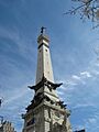
State Soldiers and Sailors Monument
-
South Side Turnverein Hall
-
The Sylvania
-
Taylor Carpet Company Building
-
Test Building
-
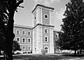
U.S. Arsenal (Arsenal Technical High School)
-
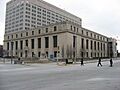
U.S. Courthouse and Post Office
-
University Park
-
Vera and the Olga
-
The Vienna
-
Virginia Avenue District
-
Madame C.J. Walker Building
-
Washington Street-Monument Circle Historic District
-
H.P. Wasson & Company Building
-
Watson Park Historic District
-
West Washington Street Pumping Station
-
Wheeler-Schebler Carburetor Company
-
John Greenleaf Whittier School, No. 33
-
The Wil-Fra-Mar
-
The Wilson
-

Woodruff Place
-

Woodstock Country Club
-
The Wyndham
-
YWCA Blue Triangle Residence Hall


_from_War_Memorial_Plaza.jpg)


.jpg)


Former Listings
Sometimes, a historic place might be removed from the National Register. This can happen if the building is destroyed, or if it changes so much that it loses its historic importance. Here are a few places that were once listed but are no longer on the National Register:
-
The Chadwick (destroyed by fire)
-
The Harriett
-
Indianapolis Chair Manufacturing Company
-
Jackson Buildings
-
Maennerchor Building
-

Caleb Blood Smith Historic Site


