National Register of Historic Places listings in Isle Royale National Park facts for kids
Isle Royale National Park is a special place in Michigan, United States, known for its beautiful nature and interesting history. Many historic sites within the park are listed on the National Register of Historic Places. This means they are important places that tell us about the past.
These sites include old shipwrecks, lighthouses, and other buildings that show how people lived and worked on and around Isle Royale long ago. There are 21 such places in the park that are recognized for their historical value.
Shipwrecks of Lake Superior
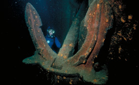
Lake Superior is known for its powerful storms, and many ships have met their end in its cold waters. Isle Royale's shores are home to several famous shipwrecks, which are now protected historic sites.
- SS Algoma
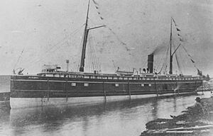
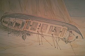
This passenger ship, built in 1883, sank in November 1885 during a terrible snowstorm. It ran aground near Isle Royale, broke apart, and tragically, 46 people lost their lives. It was the worst shipping disaster in Lake Superior's history.
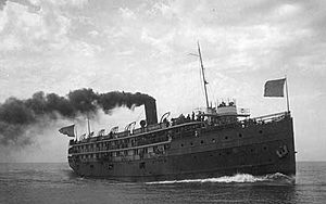
- SS America
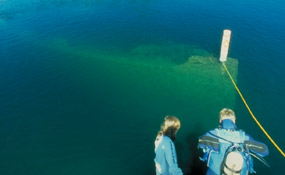
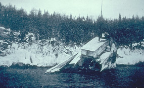
The America was an important ship in the early 1900s, connecting communities around western Lake Superior. It made three trips a week between Duluth, Minnesota, Isle Royale, and Thunder Bay, Ontario. In June 1928, it ran aground while leaving Washington Harbor. You can still see its bow in shallow water today!
- SS Chester A. Congdon
Originally named the Salt Lake City, this large steel freighter sank near Isle Royale in 1918. It was the first shipwreck in Lake Superior to be worth over a million dollars.
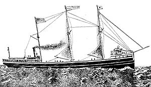
- SS Cumberland
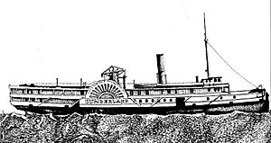
This wooden paddlewheel ship was built in 1871. In July 1877, it hit a reef near the Rock of Ages Light after leaving Thunder Bay. Luckily, the day was clear, and all passengers and crew were rescued safely. Parts of its wreckage are mixed with another ship, the Henry Chisholm, which sank later.
- SS Emperor
The Emperor was a huge freighter, built in 1910, and was the largest Canadian-built freighter of its time. In June 1947, it was carrying a heavy load of iron ore when it ran aground near Canoe Rocks due to a navigation mistake. The ship sank in just 30 minutes, and twelve crew members died.
- SS George M. Cox
This ship was first launched in 1901 as the USS Puritan and was used by the US Navy during World War I. After the war, it returned to civilian service but sank in 1933 near the Rock of Ages Light off Isle Royale.
- SS Glenlyon
The Glenlyon was a freighter built in 1893. It carried all sorts of cargo and even passengers for a while. On November 1, 1924, it ran aground while trying to find shelter in Siskiwit Bay during a storm.
- SS Henry Chisholm
Built in 1880, the Henry Chisholm was a large wooden freighter, pushing the limits of how big a wooden ship could be. In October 1898, it was towing another ship when a storm hit. After the storm, while searching for the towed ship, the Chisholm struck a reef near the Rock of Ages Light. Its wreckage is mixed with the Cumberland shipwreck.
- SS Kamloops
The SS Kamloops was a lake freighter that sank with everyone on board off Isle Royale around December 1927. It was part of the Canada Steamship Lines fleet since its launch in 1924.
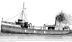
- SS Monarch
This passenger and cargo ship was built in 1890. In December 1906, it left Thunder Bay in a blinding snowstorm and somehow veered off course. It crashed at full speed into the cliffs on the north side of Blake Point on Isle Royale. Amazingly, almost all the crew and passengers made it safely to shore.
Important Lighthouses
Lighthouses are like beacons of hope for sailors, guiding them safely through dangerous waters. Isle Royale has several historic lighthouses that have stood guard for many years.
- Isle Royale Light Station
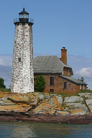
Also called the Menagerie Island Light, this lighthouse is on Managerie Island, at the entrance to Siskiwit Bay. It was built in 1875 and is an important part of the history of lighthouses on the Great Lakes.
- Passage Island Light Station
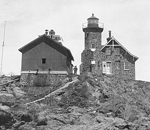
This lighthouse is located about 3.25 miles (5.2 km) northeast of Isle Royale, in Lake Superior. It was built in 1882 and is part of a larger group of historic lighthouses in the United States.
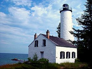
- Rock Harbor Lighthouse
Found in Rock Harbor on Isle Royale, this lighthouse was built in 1855-1856. However, it was permanently turned off in 1879, meaning it only operated for a short time.
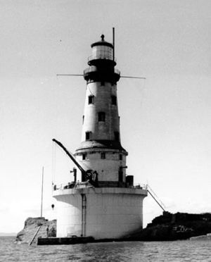
- Rock of Ages Light Station
This is an active lighthouse built on a small rock about 5 miles (8.0 km) west of Isle Royale. It was constructed in 1908 and is still helping ships navigate Lake Superior today.
Other Cool Historic Spots
Beyond shipwrecks and lighthouses, Isle Royale National Park has other fascinating historic sites that tell stories of its past.
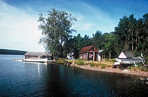
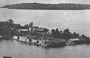
- Edisen Fishery
The Edisen Fishery is a group of seven buildings built between 1895 and 1934. It was a commercial fishing operation, built by local fishermen using materials found nearby. It shows how people made a living from the lake.
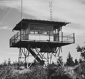
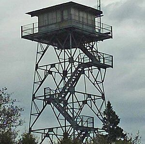
- Ishpeming Fire Tower
This ten-foot-high fire tower was built in 1961. It was used to spot wildfires in the park, helping to protect its forests.
- Johns Hotel
Established in 1892, Johns Hotel was the very first summer resort on Isle Royale. While there were once 16 buildings, only the main hotel and one cabin remain today. It gives us a glimpse into early tourism on the island.
- Minong Traditional Cultural Property
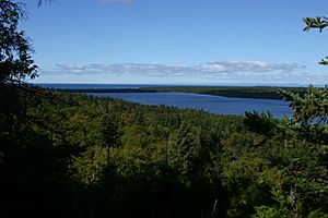
"Minong" is the Ojibwe name for Isle Royale. This site recognizes the deep and long-lasting connection that the Grand Portage Band of Minnesota Chippewa has with the island. It highlights the cultural importance of Isle Royale to Native American communities.
- Minong Mine Historic District
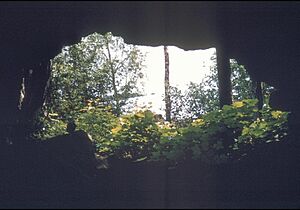
This site is incredibly old! It contains prehistoric copper mining pits that are thought to be as old as 4,500 years. It also has the remains of the Minong Mine, a 19th-century copper mine that produced a lot of copper over ten years.
- New Feldtmann Fire Tower
This fire tower, built in 1964, stands 41 feet (12.5 meters) tall. Like the Ishpeming Fire Tower, it was crucial for spotting fires and protecting the park.
- Tobin Harbor Historic District
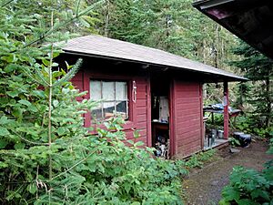
Located northeast of Rock Harbor, this district includes historic buildings and structures that show the early settlement and activities in Tobin Harbor.


