National Register of Historic Places listings in Lauderdale County, Mississippi facts for kids
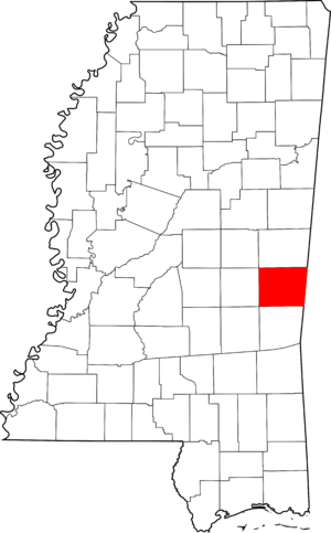
This page is a list of special places in Lauderdale County, Mississippi, that are important because of their history or unique design. These places are officially recognized on the National Register of Historic Places. Think of it like a special list of treasures that the United States government wants to protect and remember for future generations.
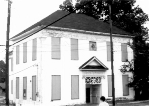
There are 46 buildings, areas, or sites in Lauderdale County that are currently on this list. Seven other places were once on the list but have been removed, usually because they were changed too much or were sadly destroyed.
Contents
Historic Places You Can Visit
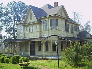
Many of the places on this list are in the city of Meridian, Mississippi. They include old homes, churches, and even a fun carousel!
Buildings and Homes
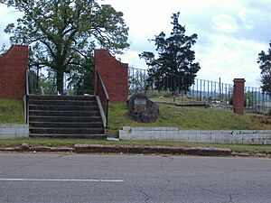
- Beth Israel Cemetery: This old cemetery in Meridian dates back to 1870. It's a quiet place where people have been laid to rest for over 150 years.
- Cahn-Crawford House: Located at 1200 22nd Avenue in Meridian, this historic house was added to the list in 1979.
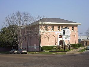
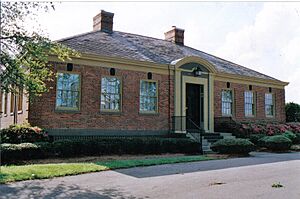
- Carnegie Branch Library: This building at 2721 13th Street in Meridian was once a library, built with help from a famous businessman named Andrew Carnegie. It joined the list in 1979.
- Dabney-Green House: Another historic home in Meridian, found at 1017 22nd Avenue. It was listed in 1979.
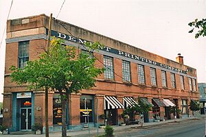
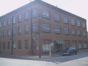
- Dement Printing Company: This building at 2002 6th Street in Meridian was once a printing company. It became a historic site in 1979.
- Elson-Dudley House: This house at 1101 29th Avenue in Meridian was added to the list in 1979.
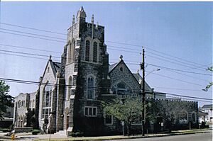
- First Presbyterian Church of Meridian: This beautiful church at 911 23rd Avenue in Meridian has been a place of worship for a long time. It was listed in 1979.
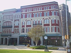
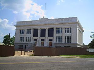
- Grand Opera House: Found at 2208 5th Street in Meridian, this old opera house is now known as the Riley Center. It's a grand building where many performances have taken place since 1972.
- Lamar Hotel: This former hotel at 410 21st Street in Meridian was added to the list in 1979.
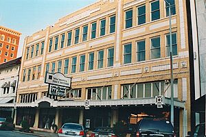
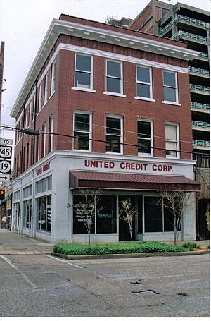
- Alex Loeb Building: Located at 2115 5th Street in Meridian, this building was recognized in 1979.
- McLemore Cemetery: This cemetery at 601 16th Avenue in Meridian was listed in 1979.
- Meridian Museum of Art: This art museum at 628 25th Avenue in Meridian was once the Carnegie Library for white residents. It became a historic site in 1979.
- Meridian Senior High School and Junior College: This school building at 2320 32nd Street in Meridian was added to the list in 2014.
- Meridian Waterworks Pumping Station and Clear Water Basin: This important station at B Street and 17th Avenue in Meridian helped provide water to the city. It was listed in 1989.
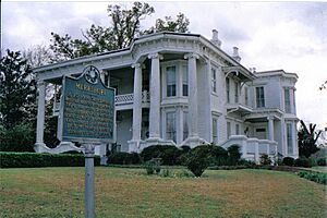
- Merrehope: A grand house at 905 31st Avenue in Meridian, Merrehope was listed in 1971. It's a beautiful example of old architecture.
- Municipal Building: This building at 601 24th Avenue in Meridian serves as the city hall. It was recognized as historic in 1979.
- Niolon Building: Located at 718 23rd Avenue in Meridian, this building was listed in 1979.
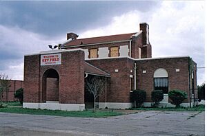
- Old Terminal Building, Hangar and Powerhouse at Key Field: These old airport buildings at 2525 U.S. Route 11 S in Meridian were added to the list in 2003.
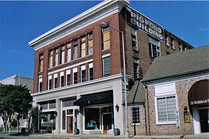
- Pigford Building: This building at 818 22nd Avenue in Meridian was listed in 1979.
- Porter-Crawford House: Another historic home in Meridian, located at 1208 22nd Avenue. It was listed in 1979.
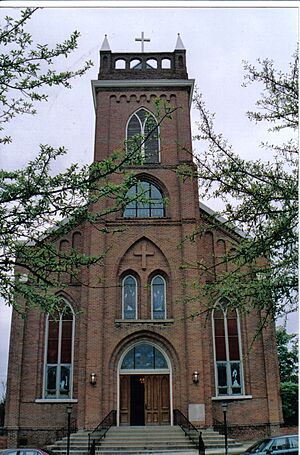
- St. Patrick Catholic Church: This church at 2614 Davis Street in Meridian was recognized in 1979.
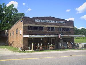
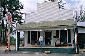
- The Simmons & Wright Company: This company building at 5493 U.S. Routes 11/80 in Kewanee, Mississippi was added to the list in 2008.
- Standard Drug Company: This building at 601 25th Avenue in Meridian was listed in 1989.
- Stevenson Primary School: This old school building at 1015 25th Avenue in Meridian was added to the list in 1979.
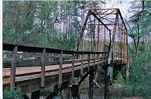
- Stuckey's Bridge: This bridge spans the Chunky River on a county road near Meridian. It's an old bridge that was listed in 1988.
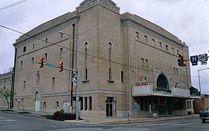
- Temple Theater: This theater at 2318 8th Street in Meridian was added to the list in 1979.
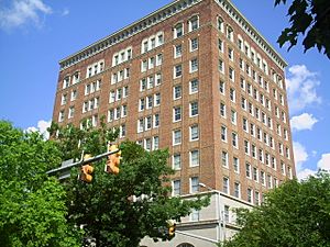
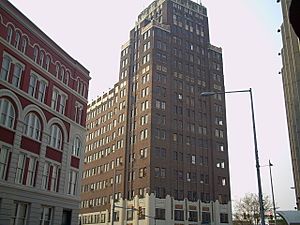
- Threefoot Building: A tall building at 601 22nd Avenue in Meridian, the Threefoot Building was listed in 1979.
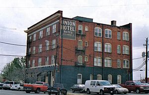
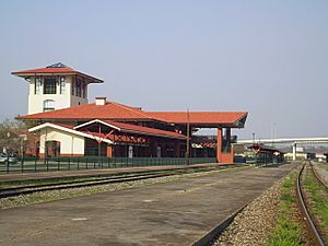
- Union Hotel: This former hotel at 2000 Front Street in Meridian was recognized in 1979.
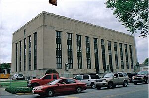
- United States Post Office and Courthouse: This important government building at 2100 9th Street in Meridian was listed in 1984.
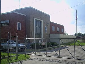
- United States Sugar Crop Field Station: This station at the junction of Sonny Montgomery Industrial Parkway and Peavy Drive in Meridian was added to the list in 1991.
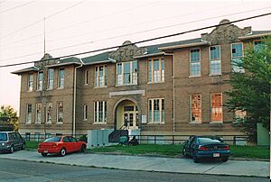
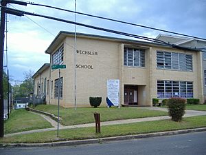
- Wechsler School: Located at 1415 30th Avenue in Meridian, this school was special because it was the first brick school building built in Mississippi for African American children, back in 1894. It was listed in 1991.
Historic Areas and Parks
- Causeyville Historic District: This historic area is located on Meridian-Causeyville Road in Causeyville. It was recognized in 1986.
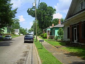
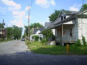
- East End Historic District: This large historic area in Meridian is roughly bounded by 18th Street, 11th Avenue, 14th Street, 14th Avenue, 5th Street, and 17th Avenue. It was listed in 1987.
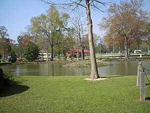
- Highland Park: This park in Meridian is roughly bounded by 15th and 19th Streets, and 37th and 47th Avenues. It's a historic park that was listed in 1979.
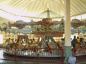
- Highland Park Dentzel Carousel and Shelter Building: Inside Highland Park, this carousel is a very special ride! It was built by the Dentzel company and is protected as a historic site since 1987.
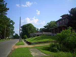
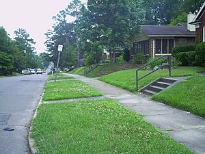
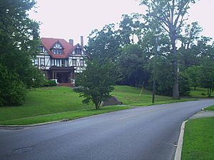
- Highlands Historic District: Another historic area in Meridian, roughly bounded by 15th Street, 34th Avenue, 5th Street, 19th Street, and 36th Avenue. It was listed in 1987.
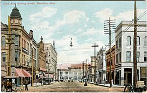
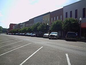
- Meridian Downtown Historic District: This important downtown area in Meridian is roughly bounded by 26th Avenue, 18th Avenue, 6th Street, and Front Street. It was added to the list in 2007.
- Meridian Urban Center Historic District: This historic urban area in Meridian is roughly bounded by 21st and 25th Avenues, 6th Street, and the old Gulf, Mobile and Ohio railroad line. It was listed in 1979.
- Merrehope Historic District: This historic area in Meridian is roughly bounded by 33rd Avenue, 30th Avenue, 14th Street, 25th Avenue, and 8th Street. It was listed in 1988.
- Mid-Town Historic District: This historic area in Meridian is roughly bounded by 23rd Avenue, 15th Street, 28th Avenue, and 22nd Street. It was listed in 1987.
- Poplar Springs Road Historic District: This historic area in Meridian is roughly bounded by 29th Street, 23rd Avenue, 22nd Street, and 29th Avenue. It was listed in 1987.
- Union Station Historic District: This historic area in Meridian is roughly bounded by 18th and 19th Avenues, 5th Street, and the old Gulf, Mobile and Ohio railroad line. It was listed in 1979.
- West End Historic District: This historic area in Meridian is roughly bounded by 7th Street, 28th Avenue, Shearer's Branch, and 5th Street. It was listed in 1987.
Places with Restricted Addresses
Some historic places have "Address Restricted" listed. This means their exact location is kept private to protect them.
- Coosha: This historic site near Lizelia, Mississippi was listed in 1978.
- Lacy Homestead: This historic home near Toomsuba, Mississippi was listed in 2007.
Former Historic Places
Sometimes, a place is removed from the National Register of Historic Places. This usually happens if the building is destroyed or changed so much that it loses its historic value. Here are some places in Lauderdale County that were once on the list:
- Dial House: This house in Meridian was listed in 1979 but removed in 2016.
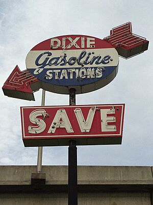
- Dixie Gas Station: This gas station in Meridian was listed in 1980 but removed in 1987 because it was demolished in 1986.
- Gulf, Mobile & Ohio Freight Depot: This old train depot in Meridian was listed in 1980 but removed in 1996 after it was destroyed by a fire in 1985.
- Meridian Baptist Seminary: This seminary in Meridian was listed in 1979 but removed in 2008 after it was destroyed by a fire in 2007.
- Meyer-Loeb Building: This building in Meridian was listed in 1980 but removed in 1987 because it was demolished in 1980.
- Masonic Temple: This building in Meridian was listed in 1979. Sometime after it was listed, the building was demolished.
- Scottish Rite Cathedral: This building in Meridian was listed in 1979 but removed in 1987 after it was destroyed by a fire in 1985.
- Suttle Building: This building in Meridian was listed in 1979 but removed in 1999 because it was demolished in 1999.


