National Register of Historic Places listings in Lewis County, Missouri facts for kids
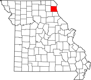
Have you ever wondered about old buildings and places that are super important to history? In Lewis County, Missouri, there are 12 special spots that are listed on the National Register of Historic Places. This is like a special list kept by the United States government to protect places that tell us stories about the past.
These places are chosen because they are important to the history, architecture, or culture of the area. When a place is on this list, it means it's recognized as a valuable part of our heritage and should be preserved for future generations. You can even find the exact location of many of these places using their map coordinates!
Historic Places in Lewis County
Lewis County is home to many interesting buildings and sites that have been recognized for their historical importance. Let's explore some of them!
First Presbyterian Church
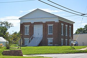
The First Presbyterian Church in La Grange is a beautiful old church located at 401 Jefferson Street. It was added to the National Register in 2012. Churches like this often show us the history of a community and its people.
William Gray House
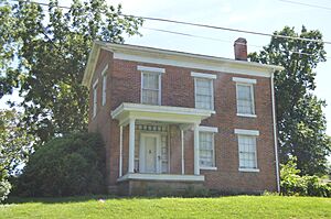
Also in La Grange, at 407 Washington Street, is the William Gray House. This house was listed in 1999. Old homes like this can give us a peek into how people lived many years ago.
Dr. J.A. Hay House
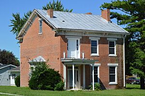
Another historic home in La Grange is the Dr. J.A. Hay House, found at 406 West Monroe Street. It was added to the list in 1999. Many old houses are named after important people who lived there or had them built.
Henderson Hall
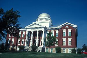
In Canton, you can find Henderson Hall on College Hill. This building became a historic place in 1978. Often, buildings on college campuses have long histories and have seen many students pass through their doors.
Lewis County Courthouse
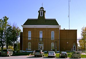
The Lewis County Courthouse is a very important building in Monticello, located at 100 East Lafayette Street. It was added to the National Register in 2005. Courthouses are usually central to a county's government and history.
Lincoln School
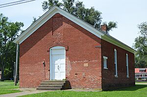
The Lincoln School in Canton, located on MO B, was listed in 1983. Schools are special places where generations of children learned and grew. Preserving old schools helps us remember the history of education in a community.
Lock and Dam No. 20 Historic District
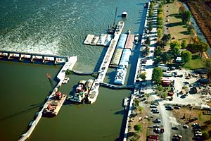
North of Henderson Street in Canton, you'll find the Lock and Dam No. 20 Historic District. This area was recognized in 2004 and is very interesting because it extends into Adams County, Illinois! Locks and dams are important structures that help control rivers and allow boats to travel.
John McKoon House
The John McKoon House, at 500 West Monroe Street in La Grange, was added to the list in 1999. It's another example of a historic home that tells a story about the past.
Quincy, Missouri, and Pacific Railroad Station
Near MO 16 in Lewistown is the Quincy, Missouri, and Pacific Railroad Station. This station became a historic site in 1979. Train stations were once busy hubs of travel and trade, connecting towns and people.
A.C. Waltman House
Finally, the A.C. Waltman House at 302 Lewis Street in La Grange was listed in 1999. Like the other homes, it helps us understand the architectural styles and daily lives of people from long ago.
Images for kids


