National Register of Historic Places listings in Livingston Parish, Louisiana facts for kids
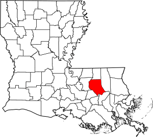
Livingston Parish in Louisiana is home to many special places! These places are so important that they are listed on the National Register of Historic Places. This is like a special list kept by the United States government. It helps protect buildings, sites, and objects that have a lot of history.
When a place is on this list, it means it's important to the history of the local area, the state, or even the whole country. It could be an old house, a school, a church, or even a plantation. There are 14 of these amazing historic places in Livingston Parish. Let's explore some of them!
Historic Gems of Livingston Parish
Brown Hotel and Cafe
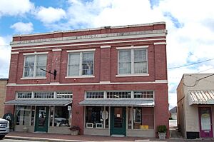
Located in Denham Springs, the Brown Hotel and Cafe was added to the National Register in 2015. It's a reminder of how people traveled and stayed in hotels a long time ago. Imagine what stories these walls could tell!
Carter Plantation
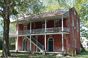
Southwest of Springfield, you'll find Carter Plantation. This plantation was built around 1820. It was first owned by Thomas Freeman, a free man of color. During the Civil War, this site even played a small part in a Confederate naval operation. It's a place where you can really feel the history.
Castleberry Boarding House
The Castleberry Boarding House is in Port Vincent. It was listed in 2001. Boarding houses were once common places where people could rent a room and get meals, almost like a hotel but often for longer stays.
Decareaux House
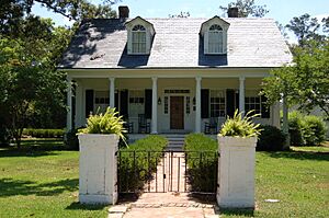
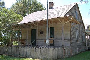
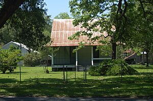
In French Settlement, the Decareaux House became a historic site in 1992. It's also known as the Creole House Museum. This house helps us understand the unique Creole culture and history of Louisiana.
Denham Springs City Hall
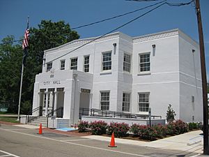
The City Hall in Denham Springs was added to the list in 1993. This building is important because it's where local government decisions are made, shaping the community.
Deslattes House
Another historic home in French Settlement is the Deslattes House, listed in 2003. It shows us the traditional architecture and way of life from earlier times in the area.
Guitreau House
The Guitreau House, also in French Settlement, joined the list in 1992. Like many of these old homes, it helps preserve the architectural styles and family histories of the region.
Hungarian Settlement School
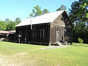
Near Albany, you can find the Hungarian Settlement School, listed in 2001. This school is a special reminder of the Hungarian immigrants who settled in this part of Louisiana and built their community.
Adam Lobell House
The Adam Lobell House, yet another historic home in French Settlement, was recognized in 1992. It's part of the rich collection of historic buildings that tell the story of this unique community.
Macedonia Baptist Church
North of Holden is the Macedonia Baptist Church. It was organized in 1856, and the building we see today dates back to 1898. Churches often serve as important centers for communities, and this one has been a gathering place for over a century.
Old Livingston Parish Courthouse
In Springfield, you'll find the Old Livingston Parish Courthouse. This building was the main government center for the parish from 1835 to 1872. It's a key piece of local political history.
St. Margaret Catholic Church
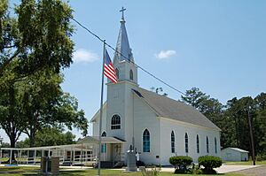
St. Margaret Catholic Church in Albany was listed in 1992. Like Macedonia Baptist Church, it represents the spiritual and community life that has been important to the people of Livingston Parish for many years.
Walker High School
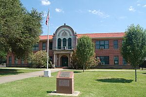
Finally, the old Walker High School building in Walker was added to the National Register in 2000. Schools are vital parts of any community, and this building holds memories of generations of students and teachers.
These 14 places are more than just old buildings; they are important parts of Livingston Parish's story. They help us remember the past and understand how the area grew and changed over time.


