National Register of Historic Places listings in Medford, Massachusetts facts for kids
Did you know that the city of Medford, Massachusetts is home to many amazing old buildings and places? These special spots are listed on the National Register of Historic Places. This is a list kept by the United States government to honor places that are important to history, architecture, or culture. When a place is on this list, it means it's worth protecting and remembering for future generations.
Medford has many historic homes, churches, parks, and even parts of old canals and dams. These places tell us stories about how people lived in Medford long ago. Let's explore some of these cool historic sites!
Contents
Historic Places in Medford
Old Houses with Stories
Medford has many old houses that are listed as historic places. These homes often belonged to important people or show us how houses were built a long time ago.
Albree-Hall-Lawrence House
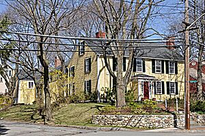
This house is located at 353 Lawrence Road. It was added to the National Register of Historic Places on April 30, 1976. It's a great example of an old home in Medford.
John B. Angier House
You can find the John B. Angier House at 129 High Street. This house became a historic place on April 23, 1975.
Charles Brooks House
The Charles Brooks House, at 309 High Street, was recognized as historic on June 18, 1975.
Shepherd Brooks Estate
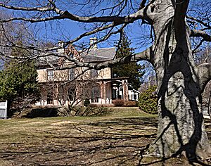
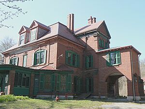
The Shepherd Brooks Estate is a large property at 275 Grove Street. It was added to the list on April 21, 1975. Estates like this often include a main house and other buildings, showing how wealthy families lived.
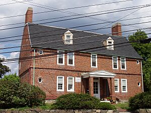
Isaac Royall House
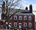
The Isaac Royall House at 15 George Street is very important. It was listed as a National Historic Landmark on October 15, 1966. This means it's one of the most important historic places in the entire country! It tells us about life in colonial times.
Peter Tufts House
Another very important house is the Peter Tufts House at 350 Riverside Avenue. It also became a National Historic Landmark on November 24, 1968. This house is one of the oldest brick houses in the United States!
Important Buildings and Structures
Beyond houses, Medford also has historic churches, armories, and even bridges!
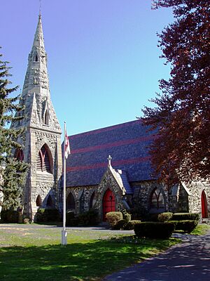
Grace Episcopal Church
The Grace Episcopal Church, located at 160 High Street, is a beautiful historic church. It was added to the list on November 3, 1972. Churches are often important community centers and show different styles of architecture.
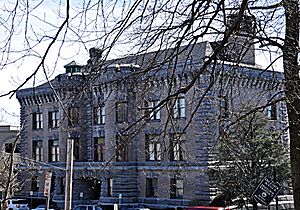
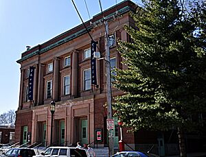
Lawrence Light Guard Armory
The Lawrence Light Guard Armory at 90 High Street was listed on March 10, 1975. An armory is a place where military groups store weapons and train. This building has a strong, castle-like look.
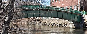
Medford Pipe Bridge
The Medford Pipe Bridge crosses the Mystic River. It was added to the list on January 18, 1990. Bridges are important for connecting different parts of a city and can be very old.
Old Medford High School
The building that used to be the Old Medford High School is at 22-24 Forest Street. It became a historic site on October 6, 1983. Today, it's not a school anymore, but it houses apartments and a community theater. It's cool to see how old school buildings get new lives!
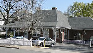
Park Street Railroad Station
The Park Street Railroad Station, at 20 Magoun Avenue, was listed on April 21, 1975. This old train station now serves as a community service organization. It reminds us of a time when trains were a main way to travel.
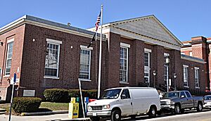
US Post Office-Medford Main
The main post office building in Medford, at 20 Forest Street, was added to the list on June 18, 1986. Even everyday buildings like post offices can be historically important.
Historic Districts and Natural Areas
Some historic listings aren't just single buildings, but entire areas or natural features that have historical significance.
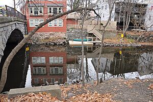
Middlesex Canal
The Middlesex Canal Historic and Archeological District includes many spots along the old route of the Middlesex Canal. This canal was a very important waterway built a long time ago to transport goods. It was listed on November 19, 2009. It even extends into other towns!
Middlesex Fells Reservoirs Historic District
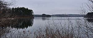
This historic district is roughly bordered by Pond Street, Woodland Road, I-93, and Route 28. It was listed on January 18, 1990. This area includes important reservoirs that once supplied water to the region.
Mystic Dam
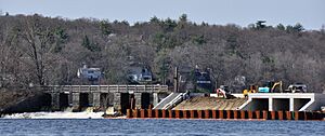
The Mystic Dam is located between the Lower and Upper Mystic Lakes. It was added to the list on January 18, 1990. Dams are important structures for controlling water flow and can be very old.
Salem Street Burying Ground
The Salem Street Burying Ground, located in Medford Square, is a historic cemetery. It was listed on August 27, 1981. Old burying grounds can tell us a lot about the people who lived in a town long ago and how they lived and died.
Images for kids


