National Register of Historic Places listings in Noxubee County, Mississippi facts for kids
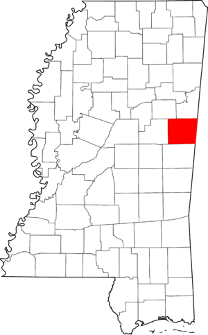
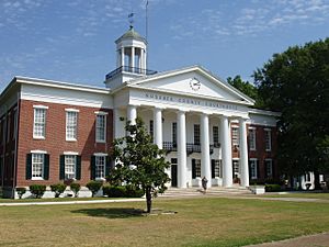
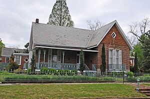
Have you ever wondered about old buildings or special places in your town? Many places have a rich history, and some are so important that they are officially recognized and protected! This list tells you about the special historic places in Noxubee County, Mississippi, that are part of the National Register of Historic Places.
What are Historic Places?
The National Register of Historic Places is like a special club for buildings, sites, and objects that are important in American history, architecture, archaeology, engineering, or culture. When a place is added to this list, it means it's recognized for its unique story and value. It helps people understand and protect these places for future generations.
In Noxubee County, there are 13 places on this list. One of them is extra special and is called a National Historic Landmark. These landmarks are the most important historic places in the entire country!
Special Places in Noxubee County
Let's explore some of the interesting historic spots you can find in Noxubee County:
Dancing Rabbit Creek Treaty Site
This is a very important place, so important that it's a National Historic Landmark! It's located southwest of Macon, near a spring called Dancing Rabbit Spring. This site is famous because a major treaty was signed here on September 27, 1830. This treaty was between the United States government and the Choctaw Nation. It led to the Choctaw people moving from their lands in Mississippi to Indian Territory (which is now Oklahoma). This event is a big part of American history and the story of Native American tribes. It was added to the list on April 3, 1973.
Historic Districts
A "historic district" is an area with several buildings or sites that are all important together. They often show how a town looked a long time ago.
Central Shuqualak Historic District
This district is located off Mississippi Highway 39 in Shuqualak. It includes many buildings that show the history of the town. It was added to the list on August 26, 1980.
Macon Historic District
The Macon Historic District covers a large part of downtown Macon. It's roughly bordered by Adams, Pearl, West, and Wayne Streets. This area has many old buildings that tell the story of Macon's past. It became a historic district on March 21, 2002.
Historic Homes
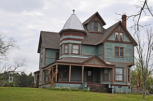
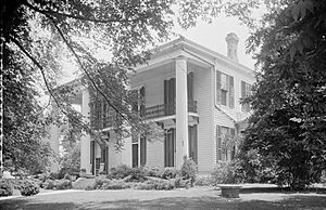
Many old houses in Noxubee County are also on the National Register because of their unique architecture or the important people who lived there.
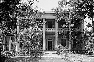
Goodwin-Harrison House
You can find this house at 213 North Jefferson Street in Macon. It's a beautiful old home that was recognized on November 28, 1980.
Maudwin
Maudwin is another historic house located at 101 Washington Street in Macon. It was added to the list on August 29, 1985.
William Henry Scales House
This house is at 1108 Magnolia Drive in Macon. It's a great example of historic homes in the area and was listed on August 9, 2002.
Yates-Flora House
Located at 100 North Wayne Street in Macon, the Yates-Flora House was added to the list on December 2, 1982.
Other Important Structures
Not just houses, but other buildings and structures can also be historic!
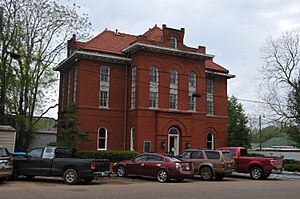
Old Noxubee County Jail
This old jail is at 209 Monroe Street in Macon. It's a reminder of how things were in the past and was listed on January 8, 1979.
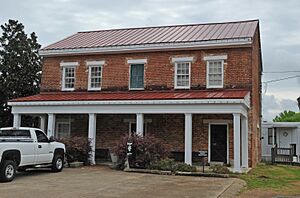
Old Noxubee County Jail of 1870
There's another old jail from 1870 at 503 South Washington Street in Macon. It was added to the list on January 3, 1991.
Running Water Creek Bridge
This bridge spans Running Water Creek on a county road near Shuqualak. Bridges can also be historic because of their engineering or how they helped people travel. This one was listed on November 16, 1988.
Old Salem School
This old school building is about 3.4 miles west of Macon on Mississippi Highway 14. Schools are important because they show how education has changed over time. The Old Salem School was added to the list on January 26, 1990.
These places help us remember and learn about the past of Noxubee County and the whole United States!
Images for kids


