National parks of Georgia facts for kids
This page is about national parks in the country of Georgia. For parks in the U.S. state, see Protected areas of Georgia (U.S. state).
Georgia has a long history of establishing protected areas dating back to 1912 when the Lagodekhi Strict Nature Reserve was created. Nowadays, protected areas make up to 7% of the country's territory (384 684 ha) and about 75% of protected areas are covered by forests. Total number of protected areas in Georgia — 89. In Georgia there are 14 Strict Nature Reserves, 12 National Parks, 20 Managed Nature Reserves, 40 Natural Monuments, 2 Ramsar sites and 1 Protected Landscape. Management and coordination of the Protected Areas is implemented by a Legal Entity of Public Law Protected Areas Agency of the Ministry of Environment Protection and Natural Resources of Georgia. Currently under development:
- Trialeti Planned National Park
National parks
| Name | Region | Municipality | Established | Coordinates | Area | IUCN category |
|---|---|---|---|---|---|---|
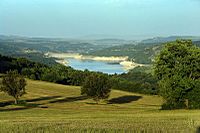
|
Kvemo Kartli | Tetritsqaro Municipality | 2007 | 41°43′N 44°19′E / 41.717°N 44.317°E | 157.63 square kilometres (60.86 sq mi) | II |
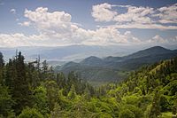
|
Samtskhe-Javakheti | Borjomi, Kharagauli, Akhaltsikhe, Adigeni, Khashuri and Baghdati Municipality | 1995 | 41°51′N 43°10′E / 41.850°N 43.167°E | 1,093.0 square kilometres (422.0 sq mi) | II |
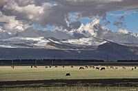
|
Samtskhe–Javakheti | Ninotsminda Municipality | 2011 | 41°10′N 43°26′E / 41.167°N 43.433°E | 238.53 square kilometres (92.10 sq mi) | II |
|
Mtskheta-Mtianeti | Kazbegi Municipality | 1976 | 42°30′12.61″N 44°27′14.55″E / 42.5035028°N 44.4540417°E | 1,446.17 square kilometres (558.37 sq mi) | II |
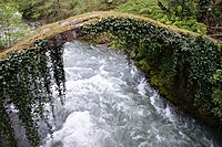
|
Adjara | Kobuleti Municipality | 2007 | 41°40′55″N 42°02′20″E / 41.682°N 42.039°E | 186.84 square kilometres (72.14 sq mi) | II |
|
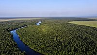
Colchis | Samegrelo-Zemo Svaneti and Guria | 1998 | 42°6′39″N 41°41′46″E / 42.11083°N 41.69611°E | 807.99 square kilometres (311.97 sq mi) | II |
|
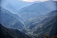
Adjara | Khelvachauri Municipality | 2012 | 41°31′12.92″N 41°43′10.81″E / 41.5202556°N 41.7196694°E | 130.7 square kilometres (50.5 sq mi) | II |
|
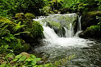
Adjara | Kobuleti, Khelvachauri and Keda Municipality | 2006 | 41°41′51.1″N 41°53′22.2″E / 41.697528°N 41.889500°E | 281.26 square kilometres (108.60 sq mi) | II |
|
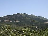
Mtskheta-Mtianeti | Mtskheta Municipality | 2007 | 41°52′N 44°56′E / 41.867°N 44.933°E | 380.02 square kilometres (146.73 sq mi) | II |
|
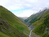
Kakheti | Akhmeta Municipality | 2003 | 42°24′36″N 45°29′13″E / 42.41000°N 45.48694°E | 1,276.43 square kilometres (492.83 sq mi) | II |
|
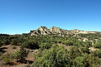
Kakheti | Dedoplistsqaro Municipality | 2007 | 41°12′N 46°23′E / 41.200°N 46.383°E | 442.51 square kilometres (170.85 sq mi) | II |
|
Mtskheta-Mtianeti | Dusheti Municipality | 2014 | 42°40′N 45°10′E / 42.66°N 45.16°E | 1,400.44 square kilometres (540.71 sq mi) | II |

All content from Kiddle encyclopedia articles (including the article images and facts) can be freely used under Attribution-ShareAlike license, unless stated otherwise. Cite this article:
National parks of Georgia Facts for Kids. Kiddle Encyclopedia.
