Navacerrada Pass facts for kids
Quick facts for kids Navacerrada Pass |
|
|---|---|
| Puerto de Navacerrada | |
 |
|
| Elevation | 1,858 m (6,096 ft) |
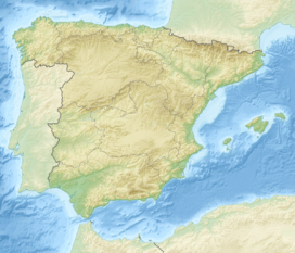
| Location | Province of Segovia, Community of Madrid |
| Range | Sierra de Guadarrama |
| Coordinates | 40°47′19″N 4°0′12″W / 40.78861°N 4.00333°W |
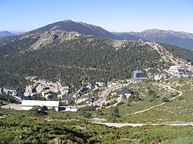
The Navacerrada Pass (also called Puerto de Navacerrada in Spanish) is a special path through the Guadarrama Mountains. These mountains are right in the middle of the Iberian Peninsula, which is where Spain and Portugal are located.
For a long time, this pass has been an important way to travel between the cities of Madrid and Segovia in Spain. It took over from an older path, the Fuenfría Pass, in 1788. The highest point of the pass is 1,858 metres (about 6,096 feet) above sea level. It sits right on the border between the province of Segovia and the Community of Madrid. Two main roads, the M-601 and the CL-601, go through the pass. Some of the old buildings near the pass are not used anymore.
See also
 In Spanish: Puerto de Navacerrada para niños
Black History Month on Kiddle
Distinguished African-American Artists:
 | Sharif Bey |
 | Hale Woodruff |
 | Richmond Barthé |
 | Purvis Young |

All content from Kiddle encyclopedia articles (including the article images and facts) can be freely used under Attribution-ShareAlike license, unless stated otherwise. Cite this article:
Navacerrada Pass Facts for Kids. Kiddle Encyclopedia.

