Nicomekl River facts for kids
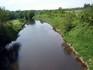
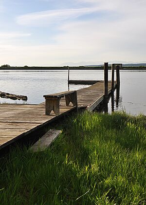
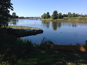
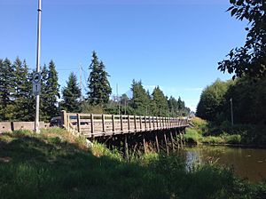
The Nicomekl River starts in Langley, British Columbia. It flows west through the city and into Surrey. The river ends at Crescent Beach, where it joins Mud Bay. Mud Bay is the northern part of Boundary Bay, which is connected to the Strait of Georgia. The Nicomekl River is about 34 kilometers (21 miles) long. Its drainage area, which is the land that collects water for the river, covers 149 square kilometers (57.5 square miles).
Contents
River's Name and Early History
The name Nicomekl comes from the Halq'emeylem language. This language was spoken by the Stó:lō people, who are Indigenous people of the area. The word means "the route to go" or "the pathway."
The Nicomekl people, who were part of the Katzie group, lived along this river. Sadly, many of them were affected by a smallpox epidemic in the 1700s and again in 1862. This caused their numbers to greatly decrease.
Early Explorers and River Use
The Nicomekl River was first written about on December 13, 1824. This was when an expedition from the Hudson's Bay Company used the river. James McMillan led this group. They traveled up the Nicomekl River to a portage area. A portage is a place where you carry boats and goods over land between two waterways. From there, they connected to the Salmon River, which led to the Fraser River.
John Work, who was part of McMillan's group, described the Nicomekl River. He noted it had many willows and low banks. The banks were covered with trees like pine, cedar, and alder. Work also saw many signs of beavers living along the river.
The Nicomekl River was easier to travel on than other nearby rivers. This made it very important for the early settlers in Surrey.
Changes to the River Over Time
In 1911, the Surrey council made a decision that changed the river. They stopped boats from traveling up the Nicomekl and Serpentine rivers. This was because dams were being built to reclaim land, which means turning wetlands into usable land. This decision ended the use of steamboats and log booms on the rivers.
In December 1951, a big flood happened. High tides in the Nicomekl and Serpentine rivers combined with strong winds. This caused 490 hectares (about 1,200 acres) of farmland to be covered in 1.5 meters (5 feet) of salt water. Fixing the damage cost about $20,000. The salt left behind affected farm production for several years.
Later, in the 1960s, pollution in the river caused problems. It led to the closure of many successful oyster farming businesses.
Smaller Streams Joining the River
Several smaller streams flow into the Nicomekl River. They are listed here starting from the ones closest to the river's mouth (where it meets Mud Bay) and moving upstream:
- Chantrell Creek
- Anderson Creek
- Muckle Creek
- Pleasantdale Creek
- Langley Creek
- Newlands Brook
 | Mary Eliza Mahoney |
 | Susie King Taylor |
 | Ida Gray |
 | Eliza Ann Grier |


