Palasip Qaqqaa facts for kids
Quick facts for kids Palasip Qaqqaa |
|
|---|---|

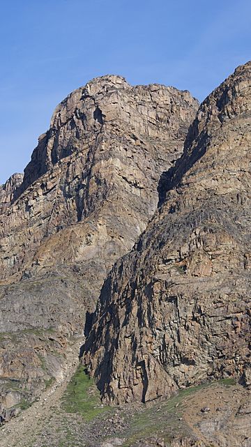
Southern pillar in the southern wall of the main summit of Palasip Qaqqaa
|
|
| Highest point | |
| Elevation | 544 m (1,785 ft) |
| Geography | |
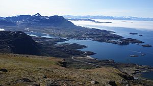
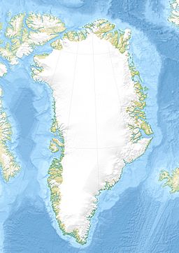
Palasip Qaqqaa (also known as Præstefjeldet in Danish) is a mountain in western Greenland. It stands 544 meters (about 1,785 feet) tall. You can find it in the Qeqqata municipality, right by the Davis Strait coast. It's located just north of the Sisimiut Airport.
This mountain is part of a long chain of mountains that stretches about 4 kilometers (2.5 miles) from west to east. It's the end of a range that starts near the Pingu mountains. This area is halfway between the Davis Strait and Greenland's huge ice sheet, called Sermersuaq. Further east, near Kangerlussuaq, the mountains get much flatter. This happened because of the massive Greenland ice sheet pushing down on the land for a very long time.
What Palasip Qaqqaa Looks Like

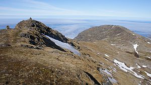
Palasip Qaqqaa has two main high points, called summits. The western summit is 466 meters (1,529 feet) high. The main, eastern summit is the tallest, reaching 544 meters (1,785 feet) with two peaks. A wide, lower area, like a saddle, separates these two summits. The mountain is also separated from other ridges to the east by more gentle, lower sections.
The southern side of Palasip Qaqqaa is the only part that looks like a steep, "alpine" mountain wall. A narrow crack, like a chimney, cuts through this southern wall between the main summit and a slightly lower peak next to it. This is the most interesting part of the mountain for people who like to climb.
After a strong rock column (called a pillar) that drops straight down from the summit, the wall becomes less steep. It gradually turns into a rocky and grassy slope. The northern side of the mountain is not steep at all and has many easy ways to get to the top.
Exploring the Mountain
Many people visit the main summit of Palasip Qaqqaa because it offers amazing long-distance views of the coast. There's a winding path from the south that leads to the top. This path goes through different types of terrain. It starts with grassy areas at the bottom and becomes rocky as you get higher.
The path sometimes disappears in the lower areas between rocky sections. It then reappears as a narrow ledge on the slope below the eastern ridge. Most of the mountain is easy to explore. However, the southern pillar of the main summit and a small northern wall on the western summit offer exciting, shorter climbing routes for adventurers.
You can even take a virtual tour of the entire trail, from the start all the way to the top! It includes full 360-degree panoramic images. Virtual Tour
 | DeHart Hubbard |
 | Wilma Rudolph |
 | Jesse Owens |
 | Jackie Joyner-Kersee |
 | Major Taylor |


