Paraíso, Costa Rica facts for kids
Quick facts for kids
Paraíso
|
|
|---|---|
|
District
|
|
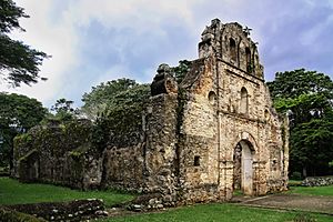
Ruins of Iglesia de Nuestra Senora de la Limpia Concepcion, built in the 1560s.
|
|
| Country | |
| Province | Cartago |
| Canton | Paraíso |
| Founded | 1823 |
| Area | |
| • Total | 19.5 km2 (7.5 sq mi) |
| Elevation | 1,325 m (4,347 ft) |
| Population
(2011)
|
|
| • Total | 20,601 |
| • Density | 1,056.5/km2 (2,736/sq mi) |
| Time zone | UTC−06:00 |
| Postal code |
30201
|
| Climate | Am |
Paraíso (pronounced pa-ra-EE-so) is a special area called a district in Costa Rica. It's part of the Paraíso canton, which is like a county, and it's located in the Cartago province.
Contents
A Look Back at Paraíso's History
Paraíso was officially started in the year 1823. That means it has been a recognized place for almost 200 years!
Where is Paraíso Located?
Paraíso covers an area of about 19.5 square kilometers. It sits high up, at an elevation of 1,325 meters above sea level. This district is located about 8 kilometers southeast of Cartago, another important city in Costa Rica.
How Many People Live in Paraíso?
| Historical population | |||
|---|---|---|---|
| Census | Pop. | %± | |
| 1864 | 1,882 | — | |
| 1883 | 1,904 | 1.2% | |
| 1892 | 1,899 | −0.3% | |
| 1927 | 3,048 | 60.5% | |
| 1950 | 4,013 | 31.7% | |
| 1963 | 7,225 | 80.0% | |
| 1973 | 10,211 | 41.3% | |
| 1984 | 14,880 | 45.7% | |
| 2000 | 33,398 | 124.4% | |
| 2011 | 20,601 | −38.3% | |
|
Instituto Nacional de Estadística y Censos |
|||
According to the 2011 census, Paraíso had a population of 20,601 people. This number shows how the population has changed over many years.
Getting Around in Paraíso
Road Transportation
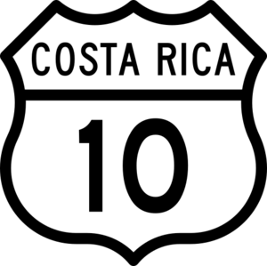
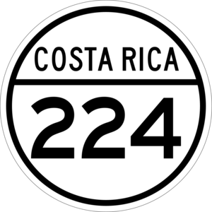
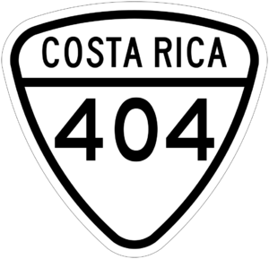
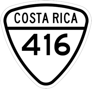
Several important roads help people travel in and out of Paraíso. These roads connect the district to other parts of Costa Rica.
- National Route 10
- National Route 224
- National Route 404
- National Route 416
Fun Places to Visit in Paraíso
If you visit Paraíso, here are a couple of interesting spots:
- The Farmer's Market in the center of town is a great place to find fresh local produce.
- Finca la Flor de Paraiso is a special non-profit organic farm. It's a place where you can learn about growing food in a natural way.
Paraíso's Sister City
Paraíso has a "sister city" relationship with another city. This means they share a special bond and often exchange ideas or cultural programs.
 Coral Springs, Florida, United States
See also
 In Spanish: Paraíso (Costa Rica) para niños


