Pass of Drumochter facts for kids
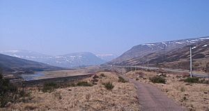
The Pass of Drumochter (which means 'high ridge' in Scottish Gaelic) is a really important mountain pass in the middle of the Scottish Highlands. Think of a mountain pass as a natural low gap or valley between mountains. This pass connects the northern and southern parts of the Highlands.
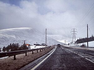
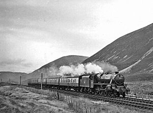
The main A9 road goes through the Pass of Drumochter. So does the Highland Main Line, which is a railway line connecting Inverness to the south of Scotland. If you like cycling, the Sustrans National Cycle Route 7 also uses this pass to get between Glasgow and Inverness.
Contents
What Makes the Pass Special?
The Pass of Drumochter is quite unique because it's the only easy way for roads to cross the main Grampian Mountains for about 100 kilometers (about 62 miles). It's a natural low point where the beginnings of two rivers, the River Spey and the River Tay, meet. The River Garry flows south from here, and the River Truim flows north.
How the Pass Was Formed
This gap was shaped into a "U" valley by huge sheets of ice, called glaciers, during past ice ages. This "U" shape makes it perfect for roads and railways to pass through.
A Route Through History
People have been using the route through the Pass of Drumochter for a very long time, even since prehistoric times. Later, a military road was built here between 1728 and 1730 by a famous person called General Wade. This road helped soldiers move around Scotland.
Weather and High Points
The Pass of Drumochter is the highest point on the A9! It's about 460 meters (1,508 feet) above sea level. Because it's so high, the weather can get very bad in winter. From November to March, there are regular patrols to check the road. Sometimes, if there's too much snow, the road has to be closed using special "snow gates" near Dalwhinnie and Dalnacardoch.
Highest Railway in the UK
The railway line through the pass is also very high, at 452 meters (1,480 feet). This makes it the highest railway summit in the entire United Kingdom! In the past, the RAF (the UK's air force) used this area for training pilots to fly at low levels, but they do this less often now.
Location and Boundaries
The Pass of Drumochter is quite isolated. The closest village is Dalwhinnie, which is about 10 kilometers (6 miles) to the north.
The very top of the pass marks the border between two areas in Scotland: Perth and Kinross and the Highland Council area. You might see a sign there that says "Welcome to the Highlands." This sign refers to the council area boundary, but the wider Scottish Highlands region actually stretches further south to a geological line called the Highland Boundary Fault near Dunkeld.
 | Stephanie Wilson |
 | Charles Bolden |
 | Ronald McNair |
 | Frederick D. Gregory |


