Paxton, Indiana facts for kids
Quick facts for kids
Paxton, Indiana
|
|
|---|---|
 |
|

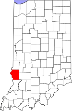
Sullivan County's location in Indiana
|
|
| Country | United States |
| State | Indiana |
| County | Sullivan |
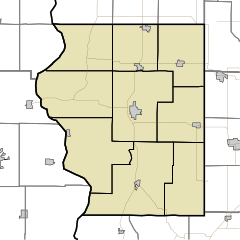
| Township | Haddon |
| Elevation | 522 ft (159 m) |
| Time zone | UTC-5 (Eastern (EST)) |
| • Summer (DST) | UTC-4 (EDT) |
| ZIP code |
47865
|
| Area code(s) | 812, 930 |
| FIPS code | 18-58500 |
| GNIS feature ID | 449706 |
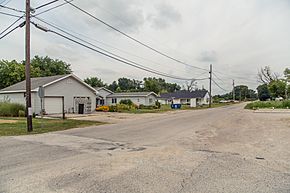
Paxton is a small community in Indiana, located in Sullivan County. It's called an unincorporated community because it doesn't have its own local government like a city or town. Instead, it's part of Haddon Township.
Paxton is also part of the Terre Haute metropolitan area. This means it's included in the larger area around the city of Terre Haute.
Paxton's Past: A Look at History
Paxton was officially established in 1868. It was named after James H. Paxton, who was a local merchant in the area. The community has had a post office serving its residents since 1864.
Where is Paxton? Geography and Location
Paxton is located in Sullivan County, Indiana. You can find it just off Highway 41. It sits between the towns of Carlisle and Sullivan. The exact coordinates for Paxton are 39 degrees, 1 minute, 16 seconds North and 87 degrees, 23 minutes, 19 seconds West.
Historic Cemeteries in Paxton
Paxton is home to several historic cemeteries. These old burial grounds date back to the early 1800s. They include places like Boone Cemetery, McClellan Snyder Cemetery, and Providence Cemetery.
 | William M. Jackson |
 | Juan E. Gilbert |
 | Neil deGrasse Tyson |


