Peralta District facts for kids
Quick facts for kids
Peralta
|
|
|---|---|
|
District
|
|
| Country | |
| Province | Cartago |
| Canton | Turrialba |
| Area | |
| • Total | 9.53 km2 (3.68 sq mi) |
| Elevation | 390 m (1,280 ft) |
| Population
(2011)
|
|
| • Total | 511 |
| • Density | 53.62/km2 (138.88/sq mi) |
| Time zone | UTC−06:00 |
| Postal code |
30503
|
Peralta is a district found in the Turrialba canton. This area is part of the Cartago province in Costa Rica, a beautiful country in Central America.
Contents
About Peralta's Location
Peralta covers an area of about 9.53 square kilometers. This is roughly 3.68 square miles. The district is located at an elevation of 390 meters (about 1,280 feet) above sea level. This means it sits in a somewhat elevated area.
People Living in Peralta
The number of people living in Peralta has changed over the years. According to the 2011 census, Peralta had a population of 511 inhabitants.
| Historical population | |||
|---|---|---|---|
| Census | Pop. | %± | |
| 1927 | 2,050 | — | |
| 1950 | 3,393 | 65.5% | |
| 1963 | 6,236 | 83.8% | |
| 1973 | 1,708 | −72.6% | |
| 1984 | 1,883 | 10.2% | |
| 2000 | 570 | −69.7% | |
| 2011 | 511 | −10.4% | |
|
Instituto Nacional de Estadística y Censos |
|||
Getting Around Peralta
Roads in the District
The district of Peralta is connected by a main road route. This route helps people travel to and from the area.
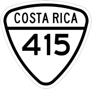
- National Route 415 is one of the roads that passes through Peralta.
See also
 In Spanish: Peralta de Turrialba para niños
 | Bayard Rustin |
 | Jeannette Carter |
 | Jeremiah A. Brown |


