Peters Hill (South Australia) facts for kids
Quick facts for kids Peters Hill |
|
|---|---|
| Highest point | |
| Elevation | 518 m (1,699 ft) |
| Geography | |
| Location | South Australia, Australia |
| Parent range | Belvidere Range |
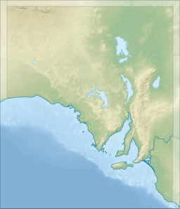
Peters Hill is a mountain in South Australia. It stands 518 meters (about 1,700 feet) tall. It is the highest point in the Belvidere Range of hills. These hills are part of the larger Mount Lofty Ranges. The name used to be "Peter's Hill," but the apostrophe was officially removed in December 1940.
About Peters Hill
Peters Hill is located on a ridge that runs north to south. It is about 7 kilometers (4.3 miles) west of the town of Hamilton. It is also about 8 kilometers (5 miles) east of the town of Riverton. The land around the hill is used for different things. Higher up, farmers let animals graze. On the lower slopes and flat areas, they grow grains like wheat.
How Peters Hill Got Its Name
The name Peters Hill has been used since at least 1842. People think it might have been named after William Spence Peter. He was a Scottish farmer who started living in this area in 1841. His sheep farms spread all around this hill. One of his main farm stations was very close by. An old map from 1842 shows "Peter's Hill" on the western side of the Light River valley. It also shows "Mr Peter's Head Station" on the eastern side.
Other ideas about the name have been suggested. One idea was that it was named after Peter Inkster. However, he moved to South Australia later, after the name was already in use. Another idea was that it was called "Petatz Hill" after Martin Petatz. He was a settler who owned land nearby. But official records do not show him as a landowner. It is more likely that "Petatz" is just a different way to say the name Peter.
 | Laphonza Butler |
 | Daisy Bates |
 | Elizabeth Piper Ensley |


