Poncé-sur-le-Loir facts for kids
Quick facts for kids
Poncé-sur-le-Loir
|
||
|---|---|---|
 |
||
|
||
| Country | France | |
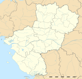
| Region | Pays de la Loire | |
| Department | Sarthe | |
| Arrondissement | La Flèche | |
| Canton | La Chartre-sur-le-Loir | |
| Intercommunality | Val du Loir | |
| Area
1
|
6.92 km2 (2.67 sq mi) | |
| Population
(2006)
|
409 | |
| • Density | 59.10/km2 (153.08/sq mi) | |
| Time zone | UTC+01:00 (CET) | |
| • Summer (DST) | UTC+02:00 (CEST) | |
| INSEE/Postal code |
72240 /72340
|
|
| Elevation | 55–153 m (180–502 ft) | |
| 1 French Land Register data, which excludes lakes, ponds, glaciers > 1 km2 (0.386 sq mi or 247 acres) and river estuaries. | ||
Poncé-sur-le-Loir was once a small French commune. A commune is like a local town or village area with its own government. It was located in the Pays de la Loire region, which is in the western part of France. Specifically, it was in the Sarthe department.
On January 1, 2017, Poncé-sur-le-Loir joined with other nearby communes. They formed a new, larger commune called Loir en Vallée. This means Poncé-sur-le-Loir no longer exists as a separate commune.
Contents
Exploring Poncé-sur-le-Loir
Poncé-sur-le-Loir was a charming place in the French countryside. It was known for its beautiful scenery and quiet life. The name "sur-le-Loir" means "on the Loir," referring to the Loir River that flows nearby.
Where was Poncé-sur-le-Loir Located?
This former commune was situated in western France. It was part of the Sarthe department. This department is known for its green landscapes and historic towns. The closest large city was Le Mans.
Poncé-sur-le-Loir was in the La Flèche arrondissement. An arrondissement is a type of administrative area in France. It was also part of the La Chartre-sur-le-Loir canton. A canton is another way to divide up areas for elections and local services.
Life in the Commune
Poncé-sur-le-Loir was a small community. In 2006, about 409 people lived there. The total area of the commune was 6.92 square kilometers. This is about 2.67 square miles.
The land in Poncé-sur-le-Loir varied in height. The lowest point was 55 meters (about 180 feet) above sea level. The highest point reached 153 meters (about 502 feet). This shows it had some hills and valleys.
Local Government and Leadership
Like all communes, Poncé-sur-le-Loir had a mayor. The mayor was in charge of local services and decisions. From 2001 to 2008, the mayor was André Monnin. The commune also worked with other local areas through a group called Val du Loir. This group helped manage shared services.
The Château de Poncé-sur-le-Loir
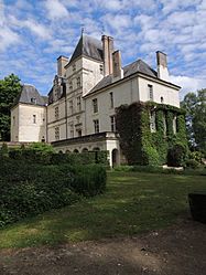
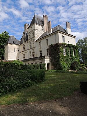
One of the most famous landmarks in the area was the Château de Poncé-sur-le-Loir. A château is a large French country house or castle. This historic building added to the beauty and history of the commune. It is a great example of French architecture.
The Merger into Loir en Vallée
On January 1, 2017, Poncé-sur-le-Loir officially became part of a new, larger commune. This new commune is called Loir en Vallée. This kind of merger happens when smaller communes decide to join together. They do this to share resources and improve services for their residents.
Even though Poncé-sur-le-Loir no longer exists as a separate commune, its history and identity live on within Loir en Vallée. The people, the land, and the château are now part of this bigger community.
See also
 | Delilah Pierce |
 | Gordon Parks |
 | Augusta Savage |
 | Charles Ethan Porter |


