Porvenir District facts for kids
Quick facts for kids
Porvenir
|
|
|---|---|
|
District
|
|
| Country | |
| Province | Guanacaste |
| Canton | Nandayure |
| Area | |
| • Total | 40.17 km2 (15.51 sq mi) |
| Elevation | 625 m (2,051 ft) |
| Population
(2011)
|
|
| • Total | 741 |
| • Density | 18.447/km2 (47.78/sq mi) |
| Time zone | UTC−06:00 |
| Postal code |
50905
|
Porvenir is a special area called a district in Costa Rica. It's part of the Nandayure canton, which is like a county, and it's located in the Guanacaste province. You can find Porvenir on the beautiful Nicoya Peninsula, a large piece of land that sticks out into the Pacific Ocean.
Contents
Discover Porvenir: A Costa Rican District
Porvenir is a district within the Nandayure canton in Costa Rica. It's known for its natural beauty and the small communities that make up the area.
Where is Porvenir Located?
Porvenir covers an area of about 40.17 square kilometers (that's about 15.5 square miles). It sits at an elevation of 625 meters (about 2,051 feet) above sea level. This means it's located in a higher, often cooler, part of the region.
Exploring Porvenir's Villages
The main village and administrative center of the Porvenir district is called Cerro Azul. This is where many of the district's activities might be centered.
Besides Cerro Azul, there are several other smaller villages that are part of the Porvenir district. These include Ángeles, Bellavista, Cabeceras de Río Bejuco, Chompipe (partly), Delicias, Quebrada Grande, and San Josecito. Each village adds to the unique character of Porvenir.
Who Lives in Porvenir?
Every few years, countries count how many people live in different areas. This is called a census. According to the census from 2011, Porvenir had a population of 741 people. The population has changed over the years, as shown in the table below:
| Historical population | |||
|---|---|---|---|
| Census | Pop. | %± | |
| 1963 | 1,881 | — | |
| 1973 | 1,543 | −18.0% | |
| 1984 | 1,338 | −13.3% | |
| 2000 | 994 | −25.7% | |
| 2011 | 741 | −25.5% | |
|
Instituto Nacional de Estadística y Censos |
|||
These numbers help us understand how the district has grown or changed over time.
Getting Around Porvenir
The district of Porvenir is connected by roads that help people travel between villages and to other parts of Costa Rica.
Road Transportation
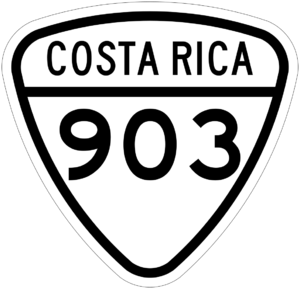
One important road that goes through Porvenir is:
- National Route 903
This road helps residents and visitors move around the district and connect to the wider road network of Costa Rica.
See also
 In Spanish: Porvenir de Nandayure para niños
 | Jewel Prestage |
 | Ella Baker |
 | Fannie Lou Hamer |


