Presidente Ríos Lake facts for kids
Quick facts for kids Presidente Ríos Lake |
|
|---|---|

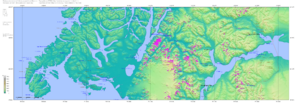
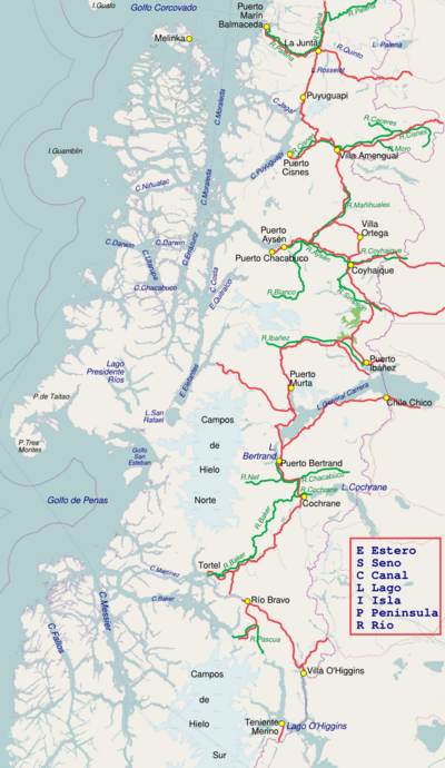
Presidente Ríos Lake is on the left side of this map.
|
|
|
Presidente Ríos Lake in the Aysén Region
|
|
| Coordinates | 46°28′S 74°25′W / 46.467°S 74.417°W |
| Basin countries | Chile |
| Surface area | 313 km2 (121 sq mi) |
Presidente Ríos Lake is a large lake in Chile. It is found in the Aysén del General Carlos Ibáñez del Campo Region. The lake sits right in the middle of the Taitao Peninsula.
Discovering Presidente Ríos Lake
Even though the lake became officially known in Chile in 1945, people knew about it much earlier. The Chono people, who were native to the area, used the lake long before.
The Chono People
The Chono people were skilled sailors and lived along the coast. They knew the secret paths and waterways of their land very well. In 1742, they helped 19 survivors from a British ship called HMS Wager. These survivors, including Captain David Cheap, were led through the lake.
The Chonos often had problems with the Spanish. Because of this, they kept the lake a secret from the Spanish. Even when they worked as guides for Spanish ships, they did not tell them about Presidente Ríos Lake.
A Secret Passage
So, even though the lake was "officially" discovered in 1945, sailors from the Chiloé Archipelago already knew about it. It was a hidden gem, known only to local people and a few seafarers.
See also
 In Spanish: Lago Presidente Ríos para niños
 | William L. Dawson |
 | W. E. B. Du Bois |
 | Harry Belafonte |


