Rabun Gap, Georgia facts for kids
Quick facts for kids
Rabun Gap, Georgia
|
|
|---|---|
| Country | United States |
| State | Georgia |
| County | Rabun |
| Elevation | 2,142 ft (653 m) |
| Time zone | UTC-5 (Eastern (EST)) |
| • Summer (DST) | UTC-4 (EDT) |
| ZIP code |
30568
|
| Area code(s) | 706 & 762 |
| GNIS feature ID | 356484 |
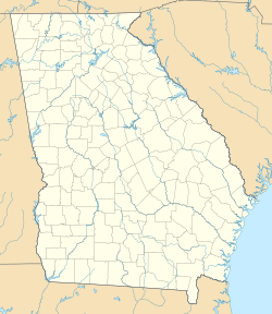
Rabun Gap is a small place in Rabun County, Georgia, United States. It's known as an unincorporated community. This means it's a group of homes and businesses that don't have their own local government like a city or town. Instead, it's managed by the county.
Rabun Gap is found along two important roads, U.S. Route 23 and U.S. Route 441. These roads help people travel through the area. The community also has its own post office with the ZIP code 30568.
What's in a Name?
The name "Rabun Gap" comes from the natural landform where it's located. A "gap" in this case means a mountain pass. A mountain pass is a low point or opening between mountains. It makes it easier to travel from one side of a mountain range to another. So, Rabun Gap is a community situated in a natural opening through the mountains.


